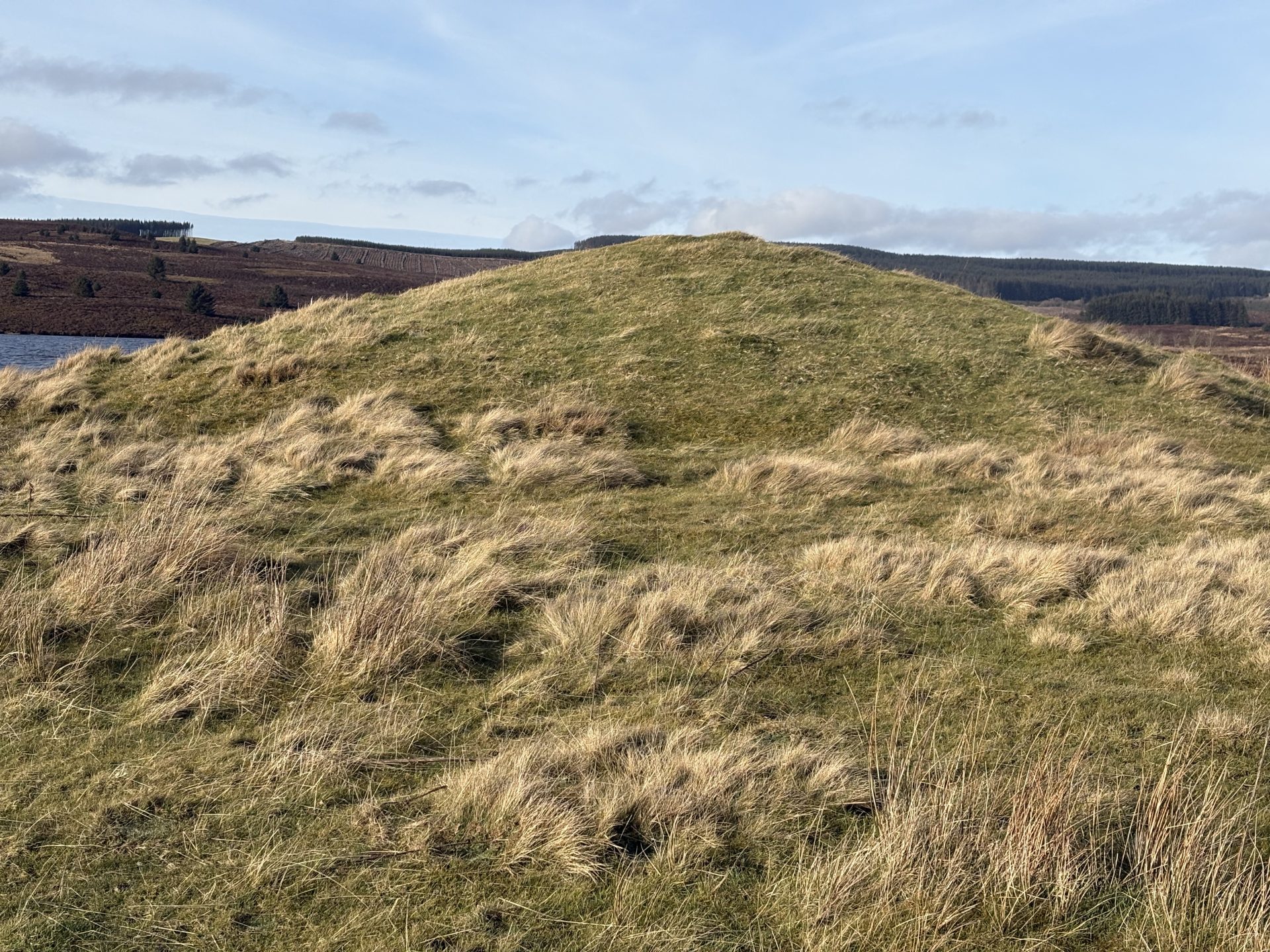
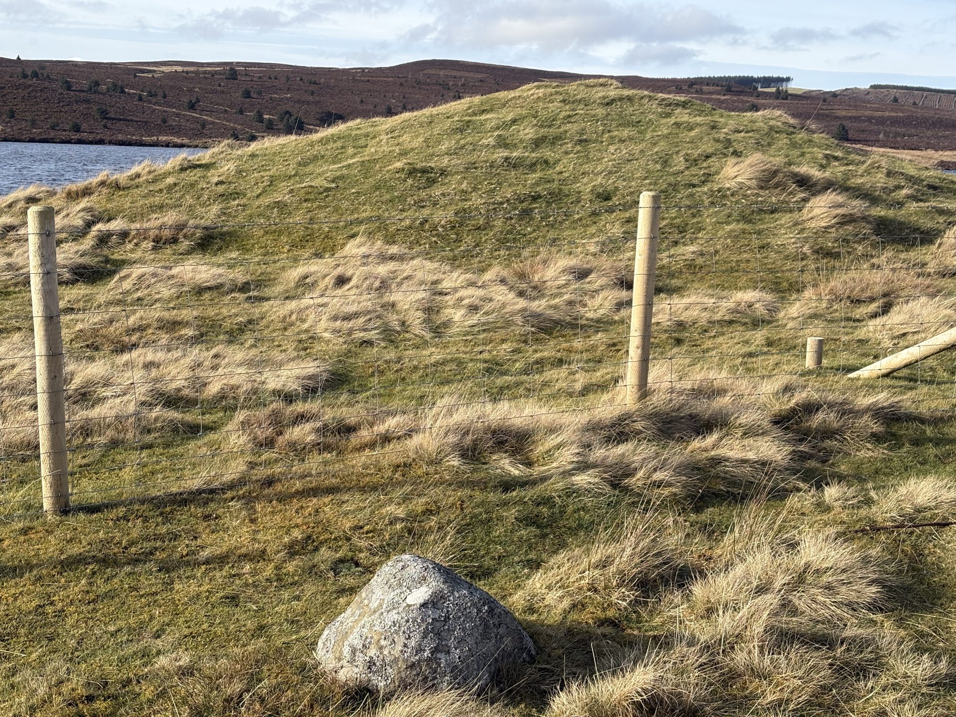
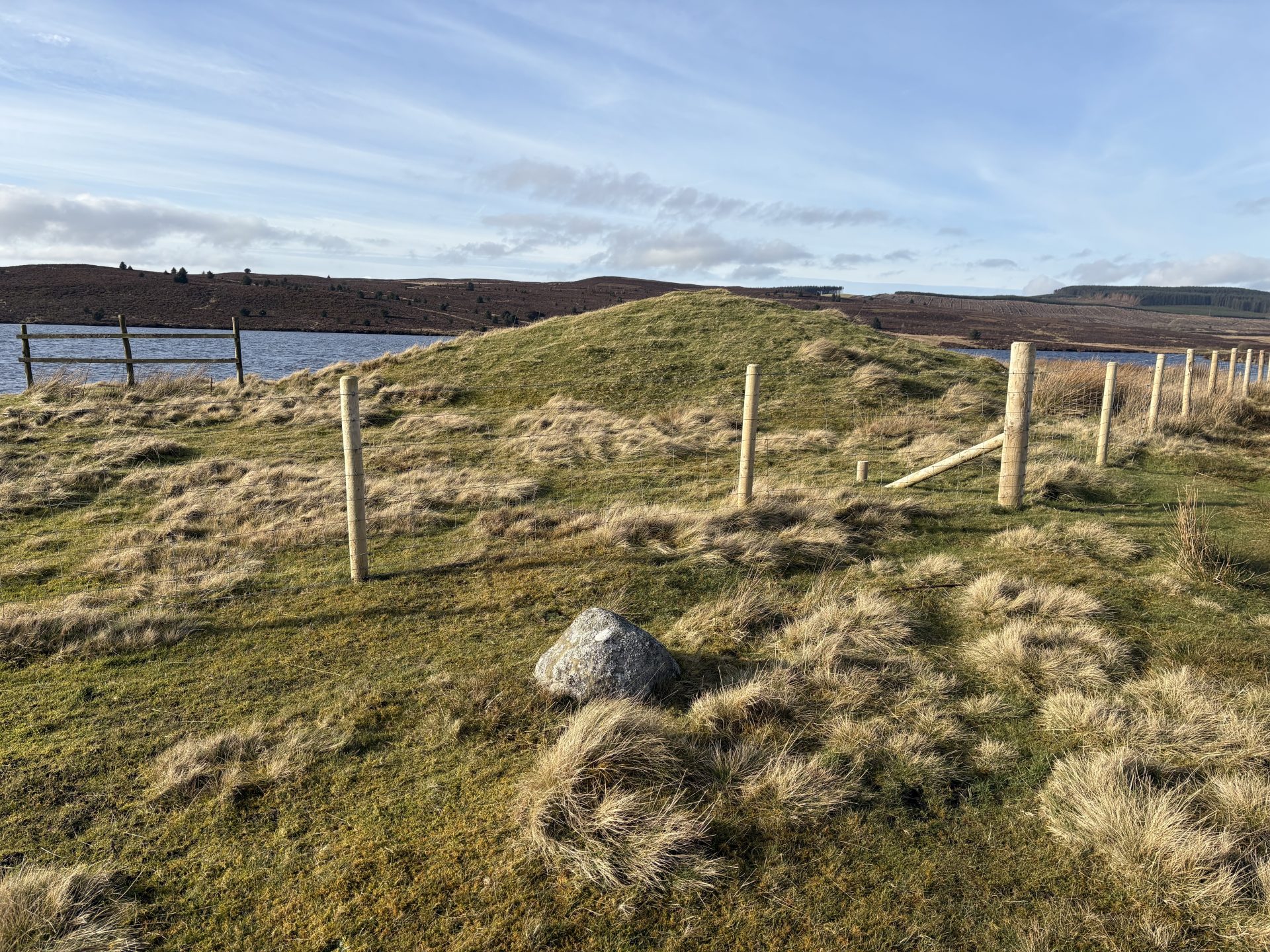
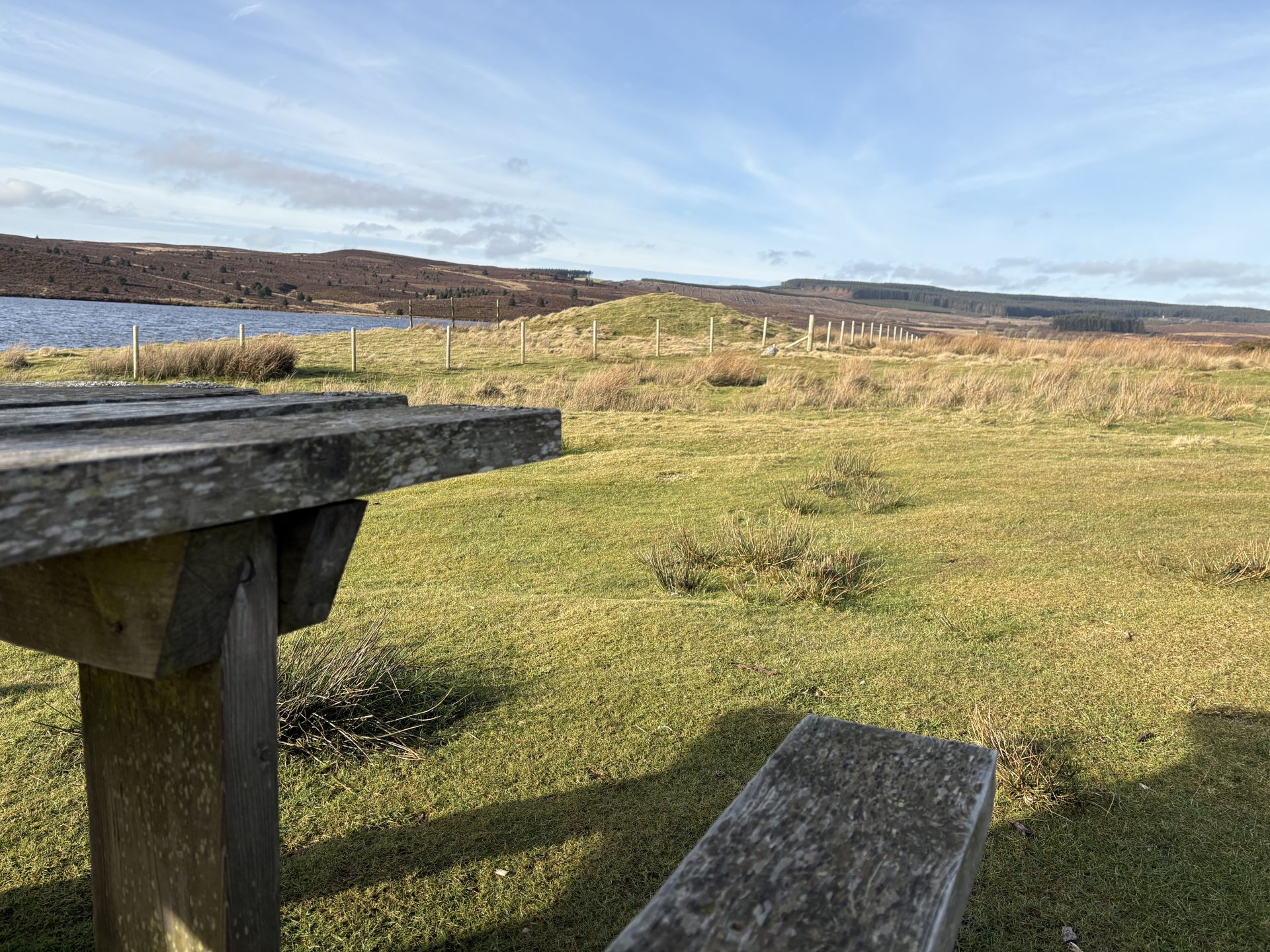
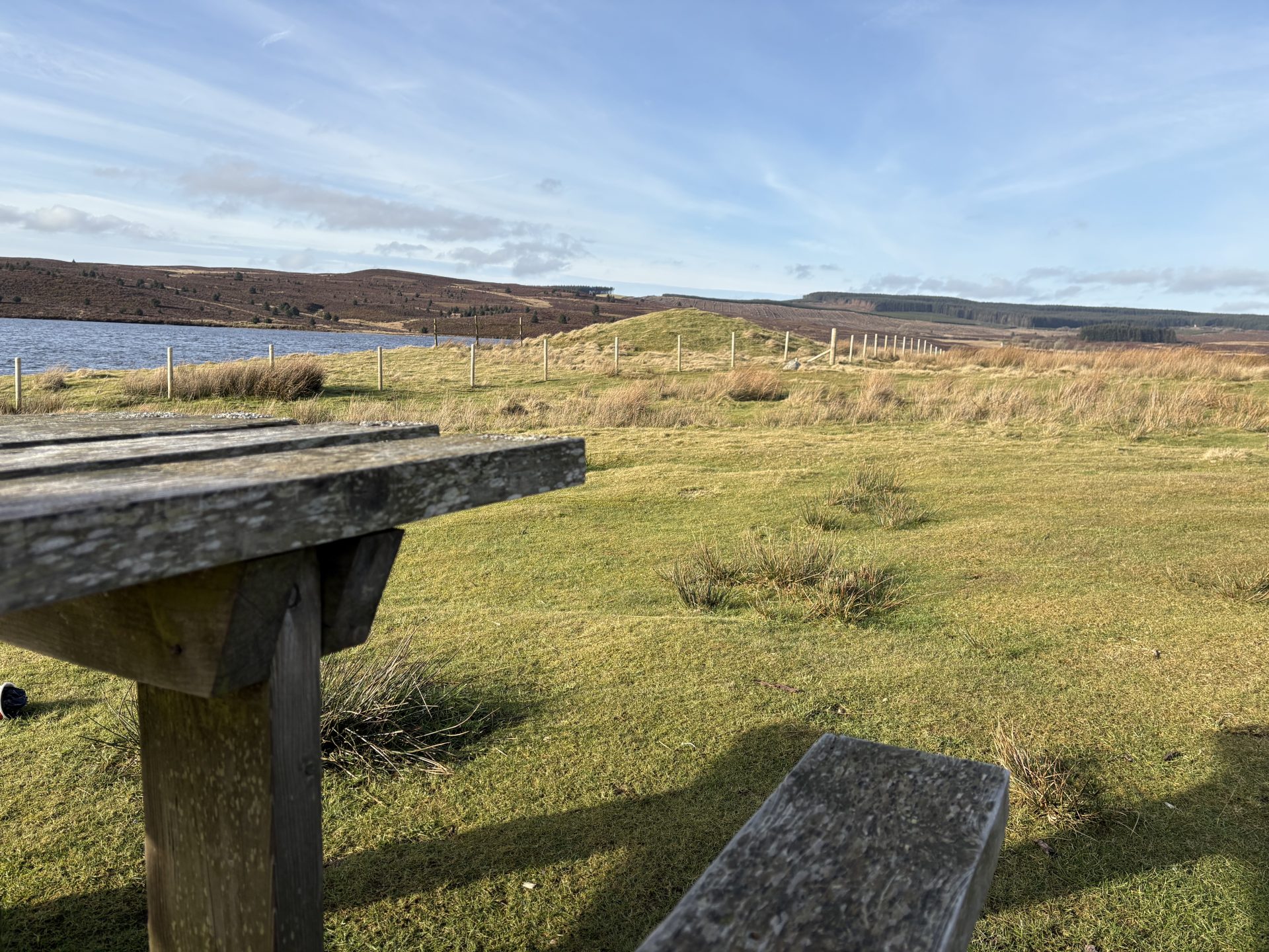
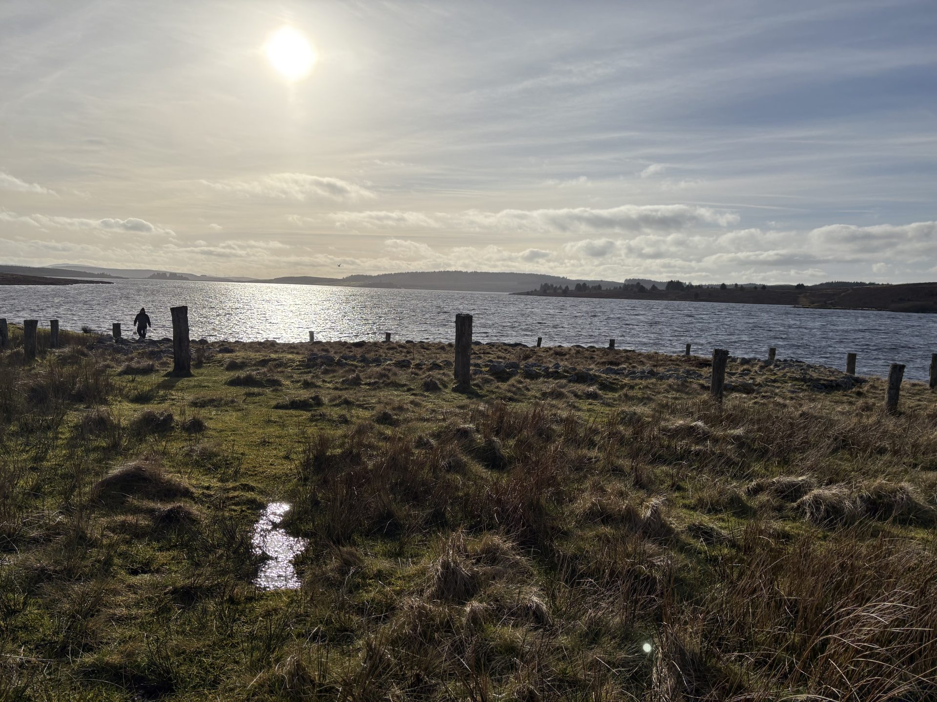
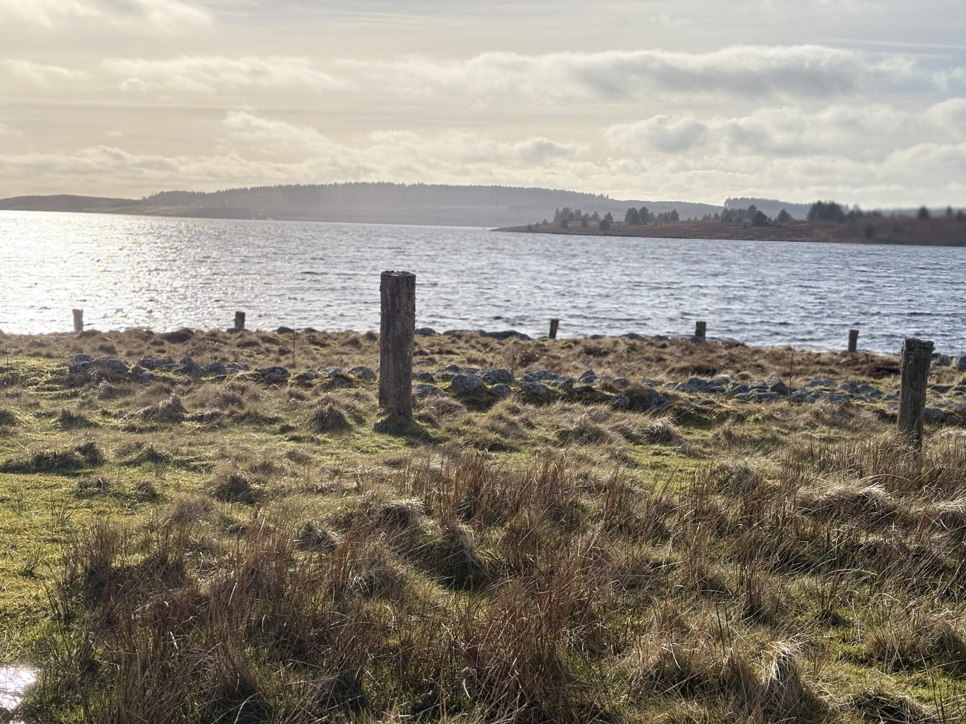
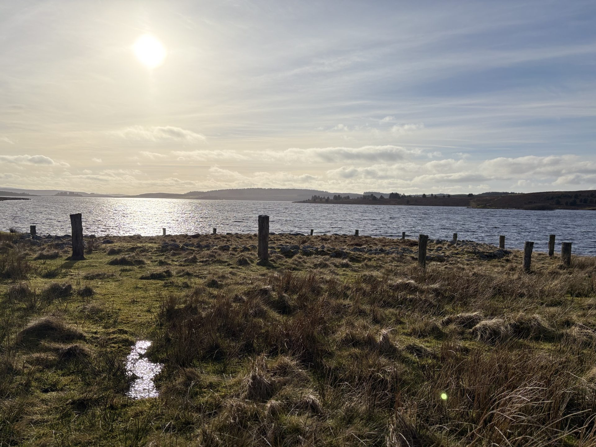
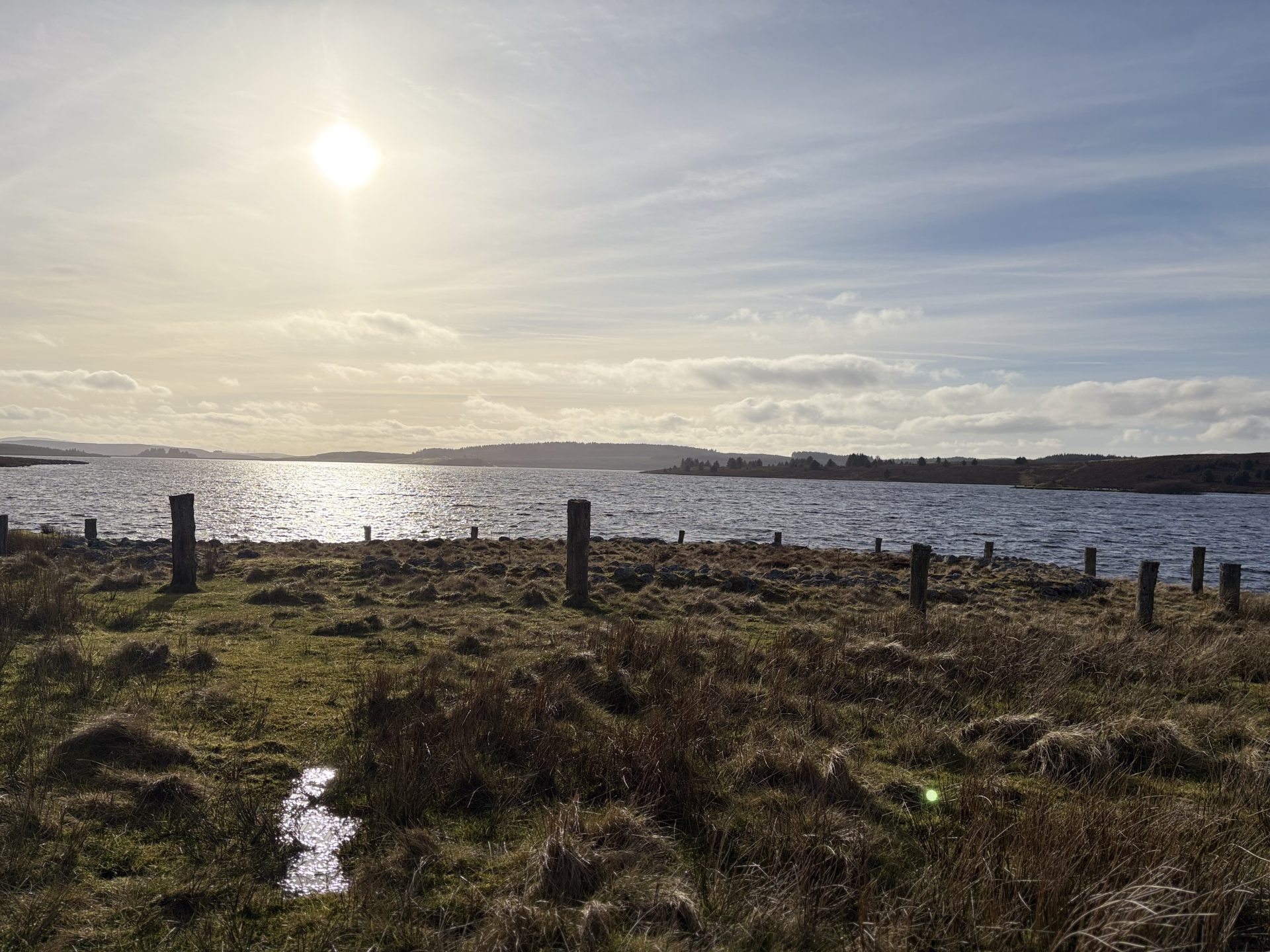
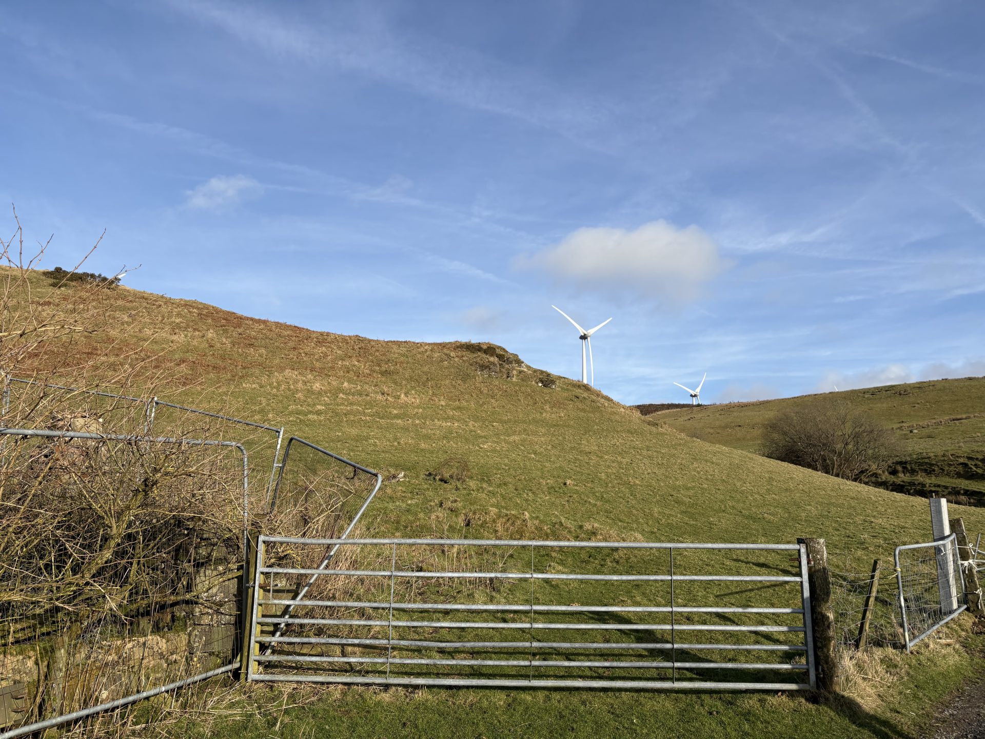
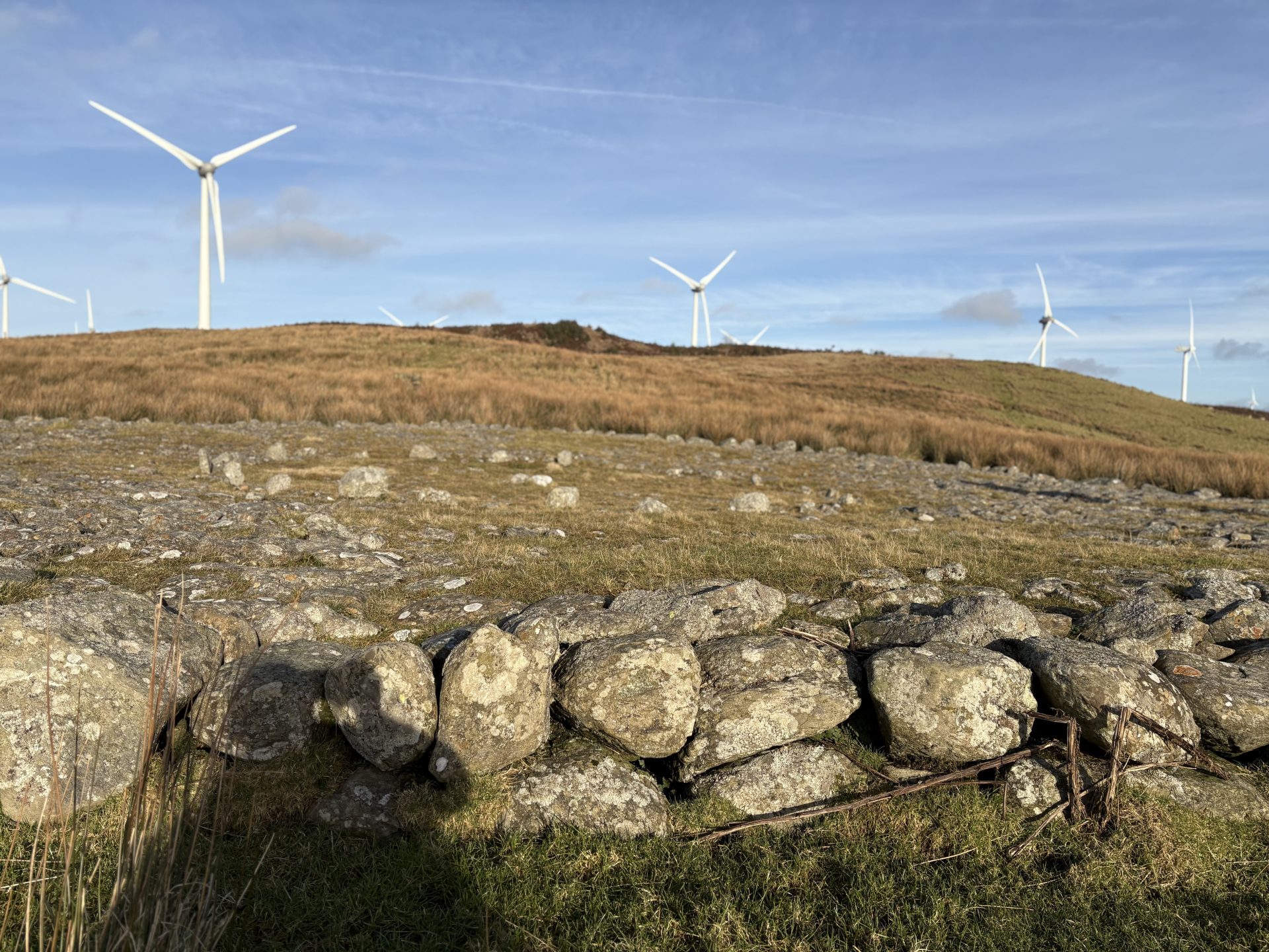
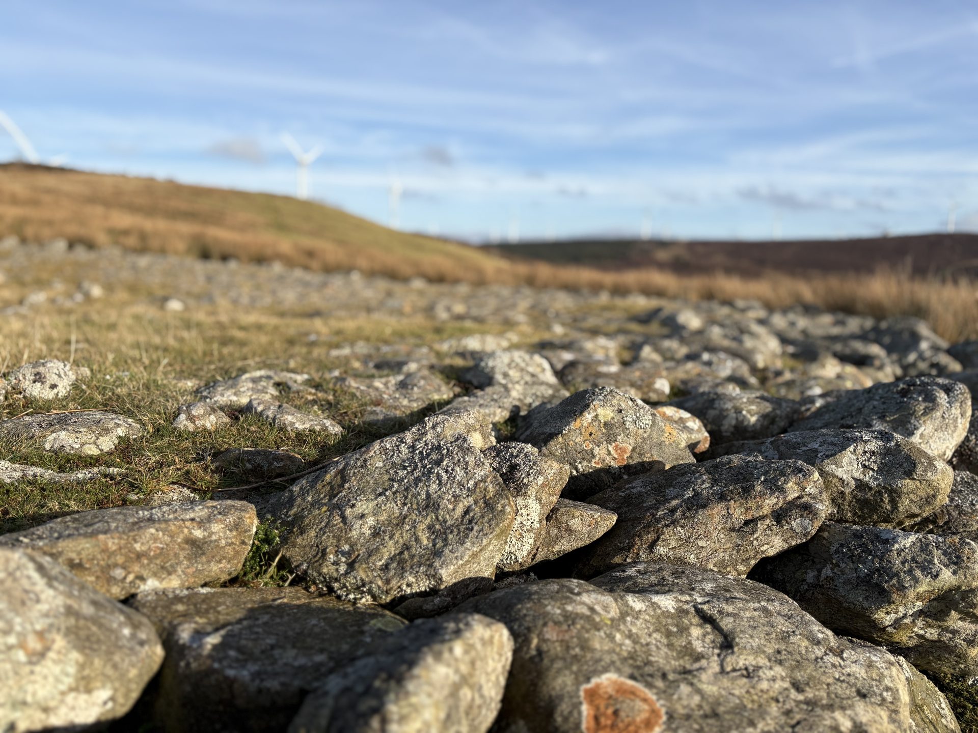
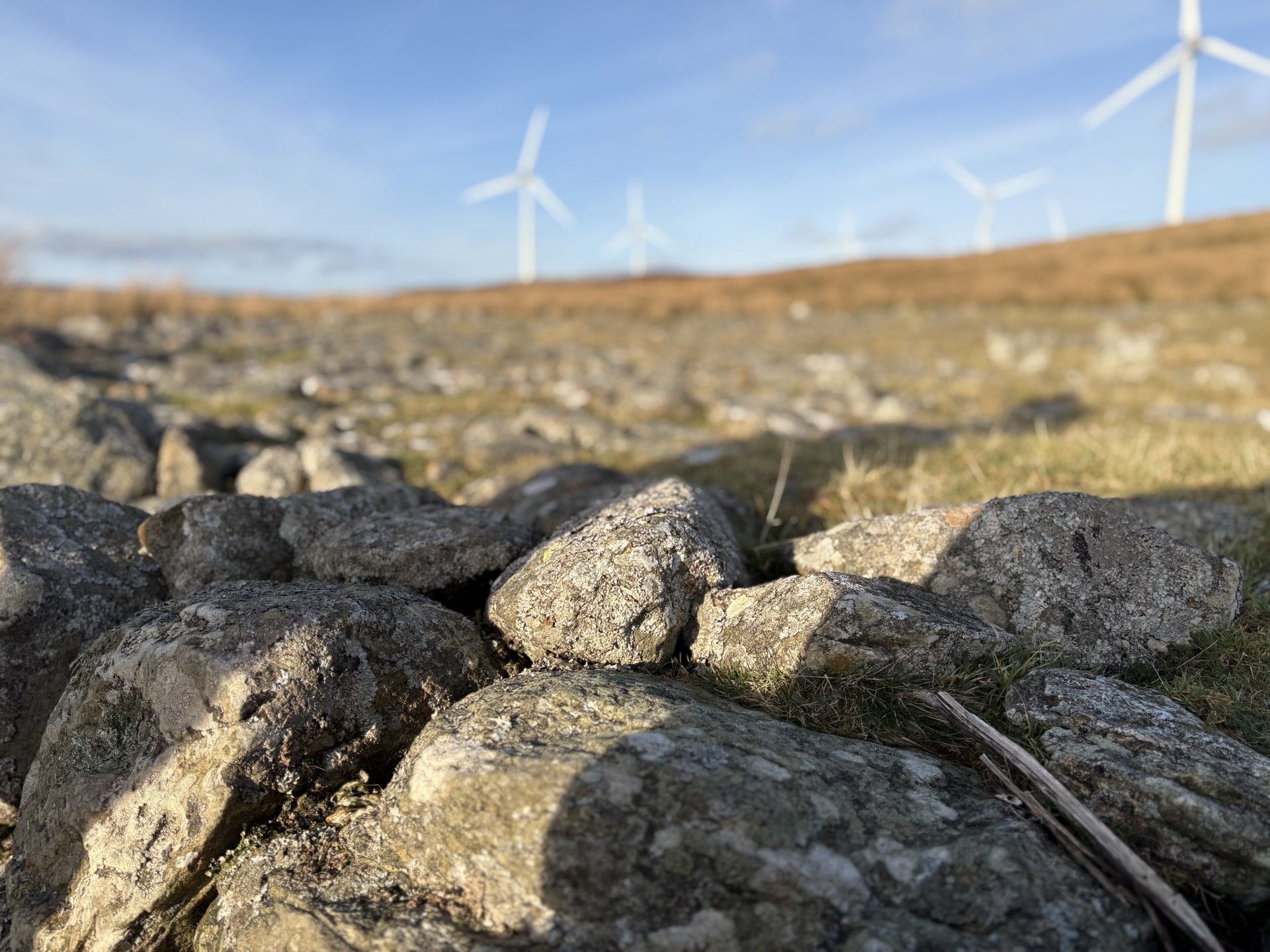
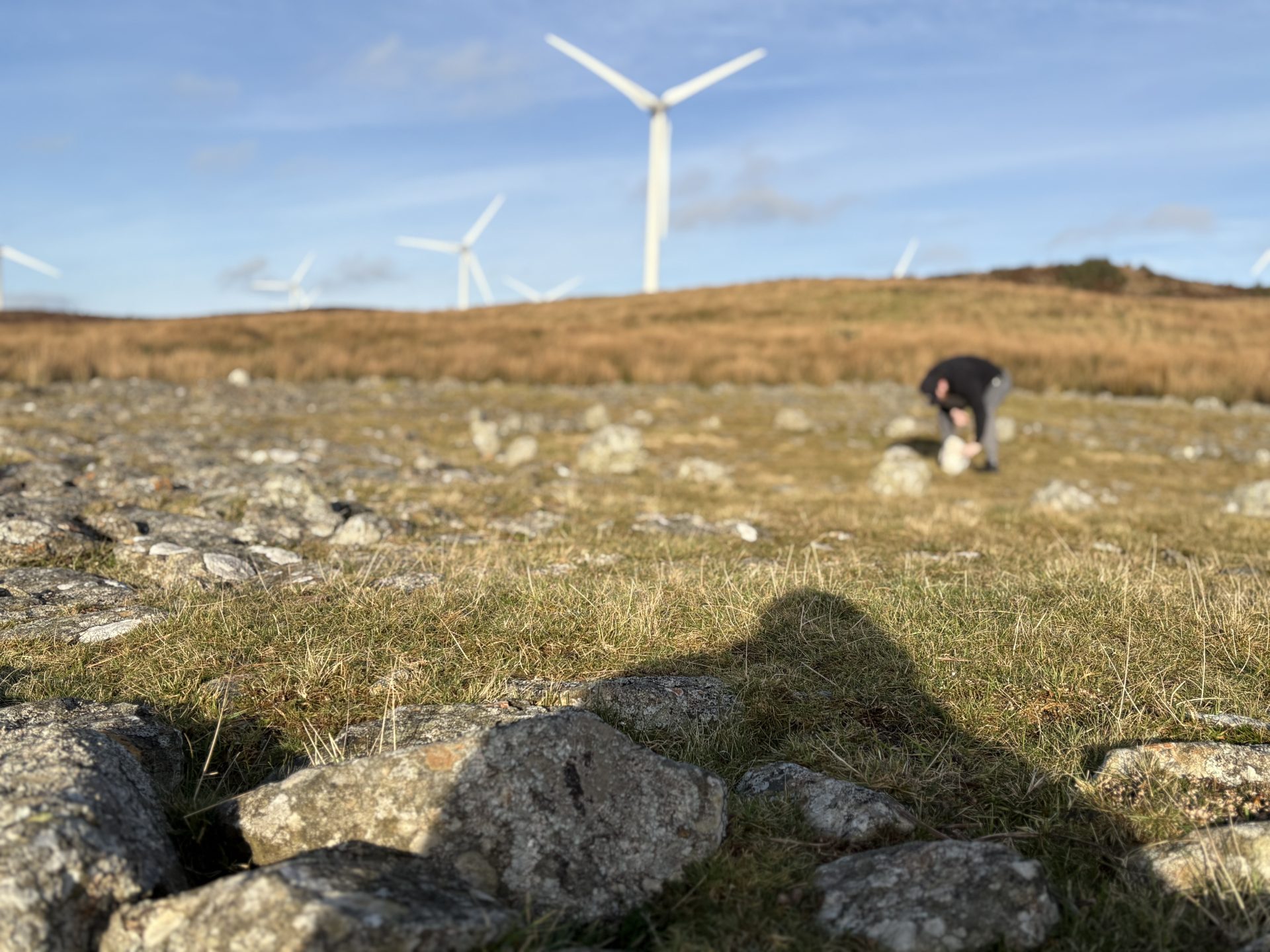
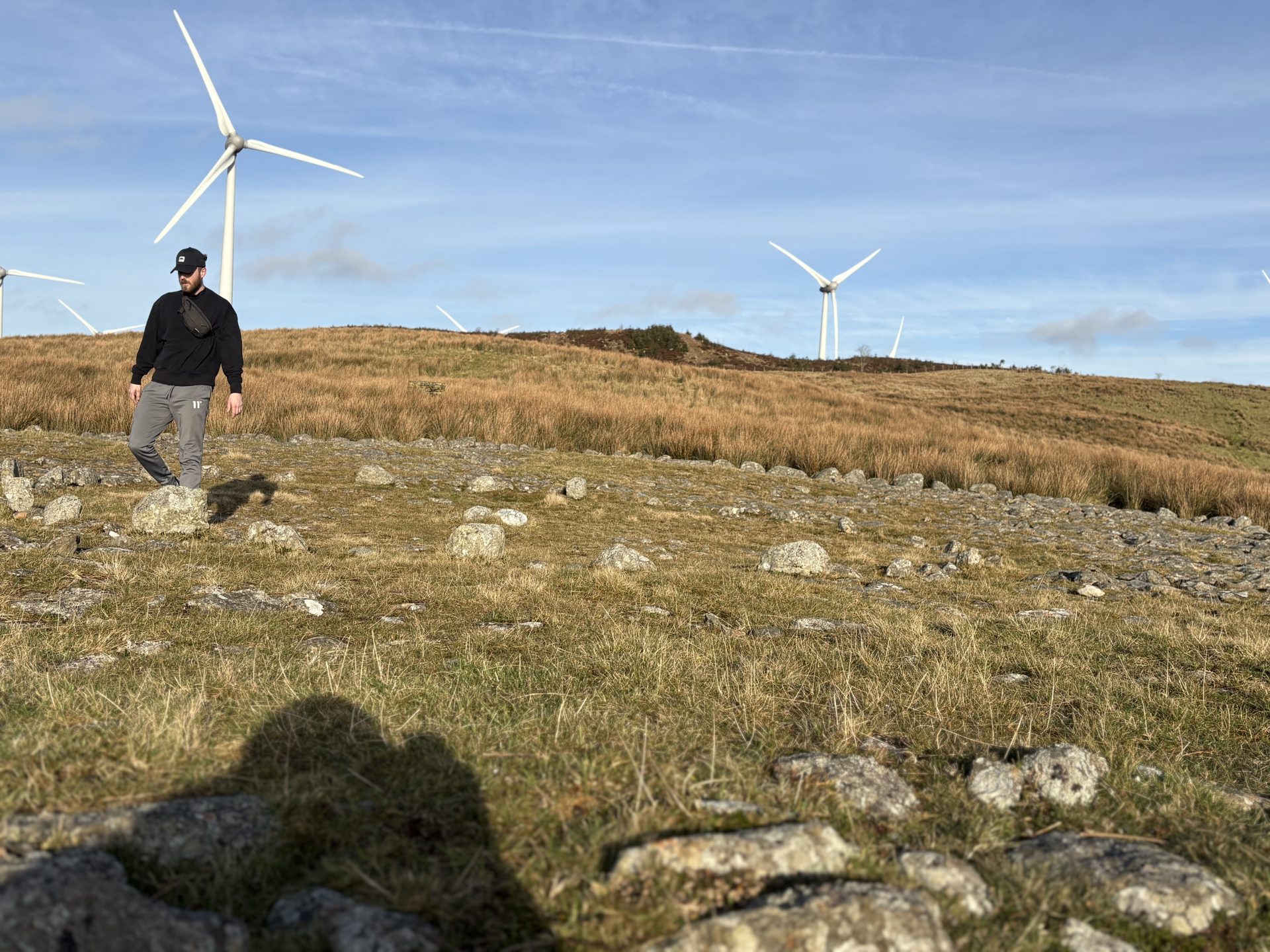
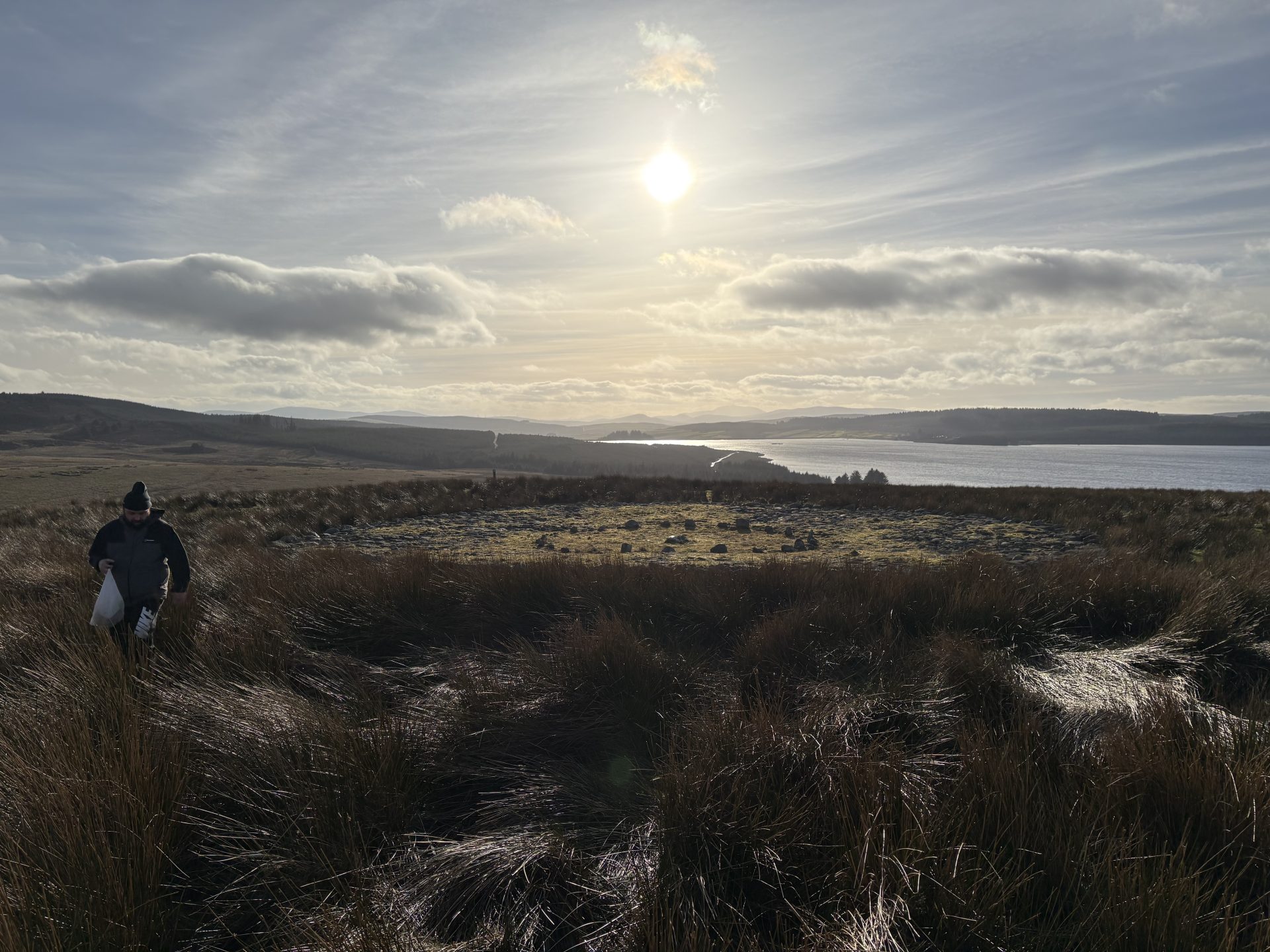
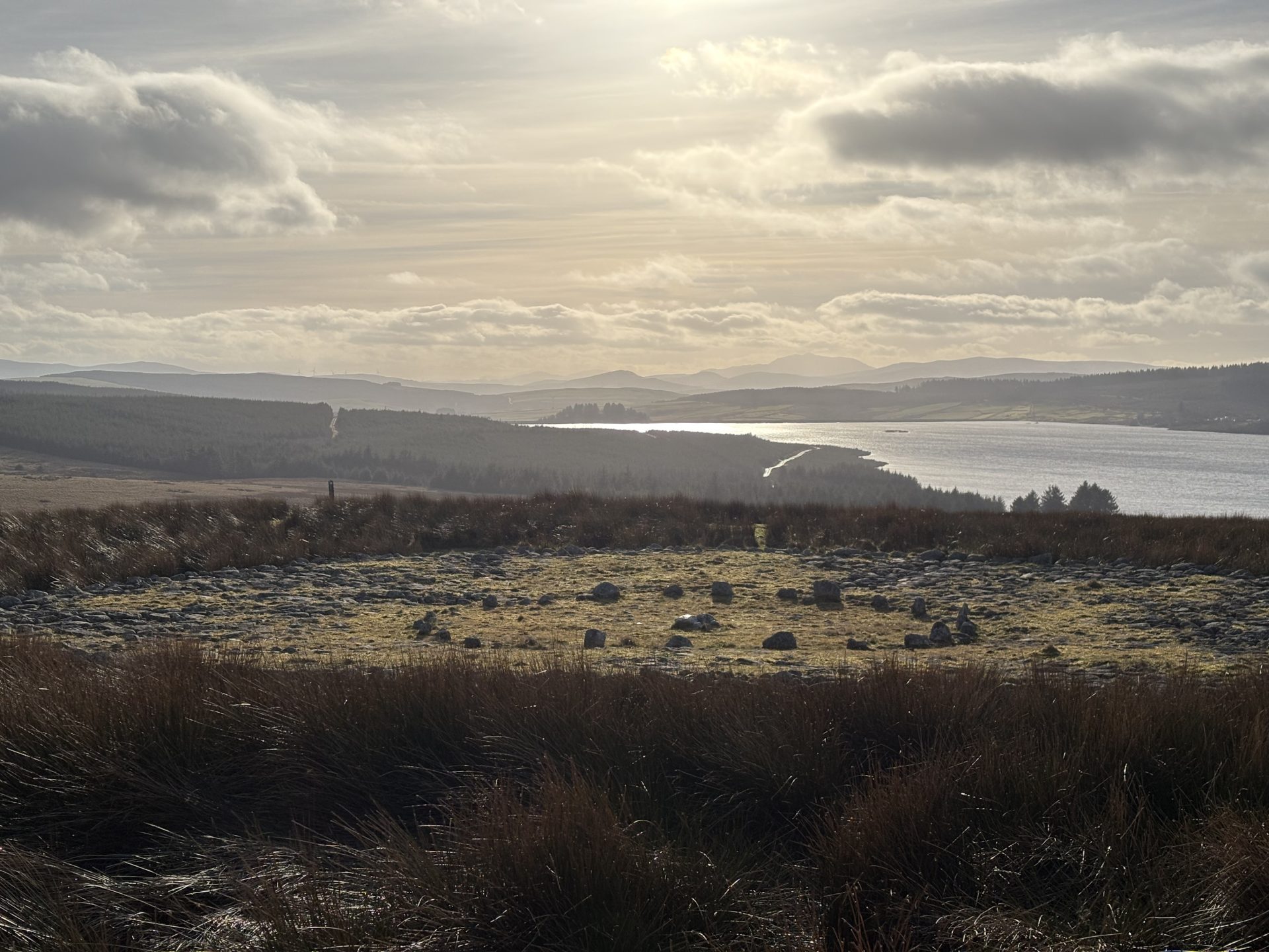
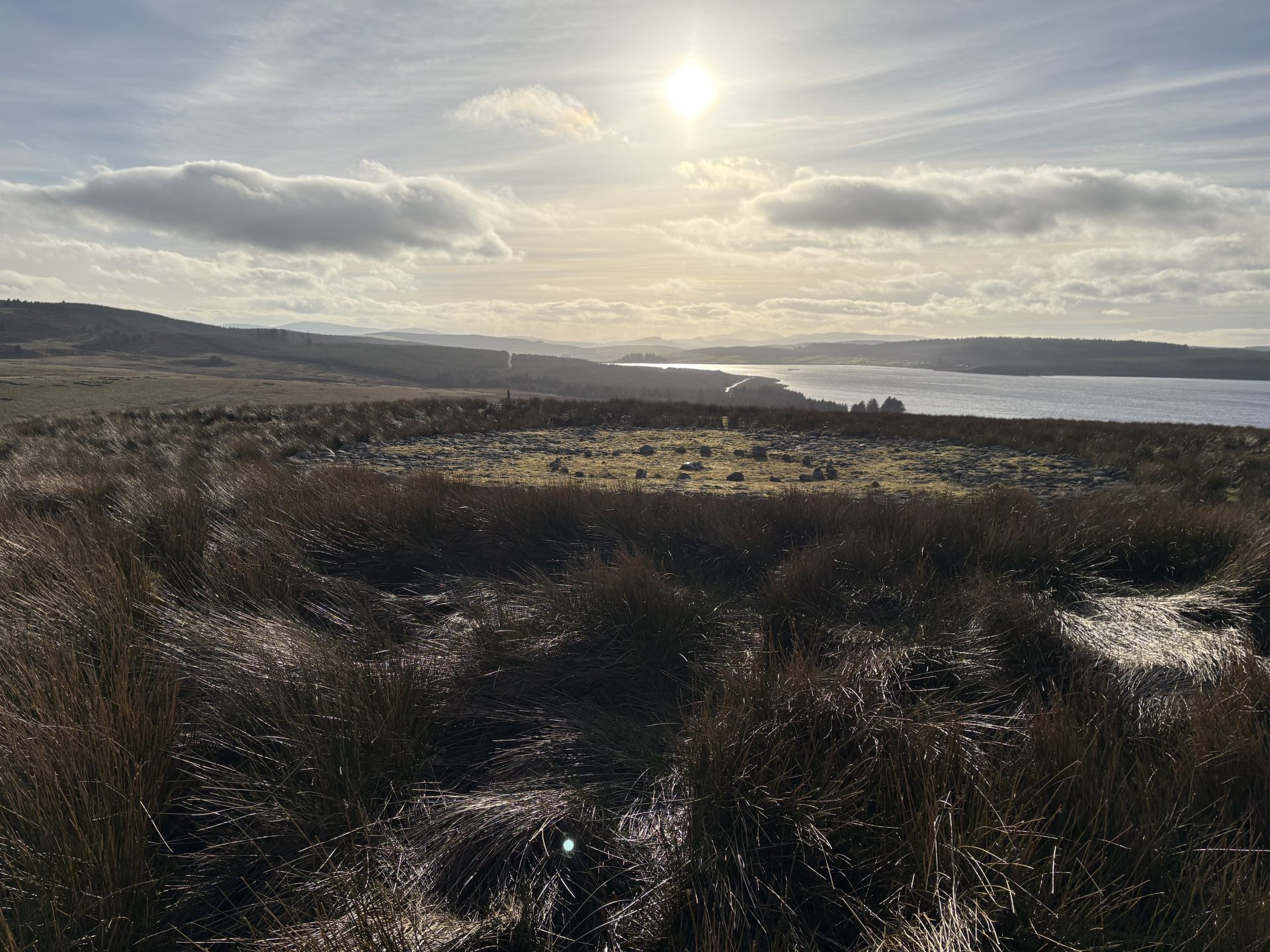
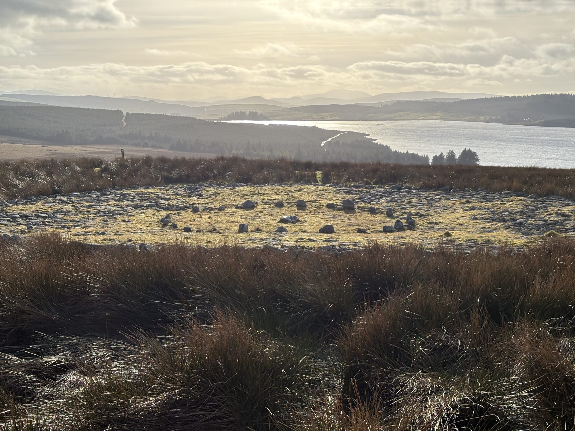
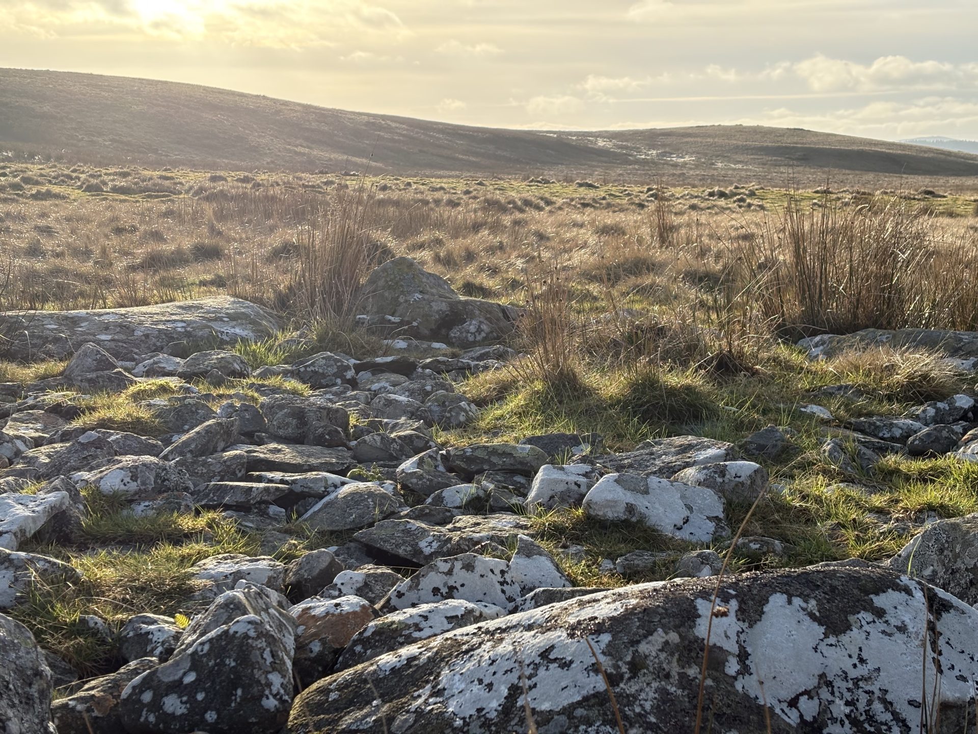
A lush and hilly landscape with a glistening lake in the centre, all with panoramic views of the nearby Eryri National Park. Llyn Brenig is a beautiful lake to visit, and a real hidden gem of North Wales. But did you know that this place was of huge significance to our Celtic past?
About the Llyn Brenig Reservoir
Constructed between 1973 to 1976, Llyn Brenig Reservoir was purposefully built to provide water supplies to North East Wales. The reservoir is up to 45m deep, 1.1km in length and up 1o 150m in width. At the time, the reservoir unfortunately submerged many medieval and later farmsteads, as well as a bronze age barrow. To this day it’s not just a reservoir, many people come to Llyn Brenig in the summer for water sports, fishing and more.
Excavations at Llyn Brenig
Excavations at the site of Llyn Brenig took place in the 70’s prior to the construction of the reservoir we see today. They revealed an interesting past of the area, with some 50 sites being excavated, it is believed that the area was used seasonally as a hunting ground, as archaeologists found what they believe to be a seasonal hunting settlement dating back to 6500BC and 3500BC. But the area was of greater significance it appears to the celts, with a multitude of burial monuments and ritual gatherings.
The Trail
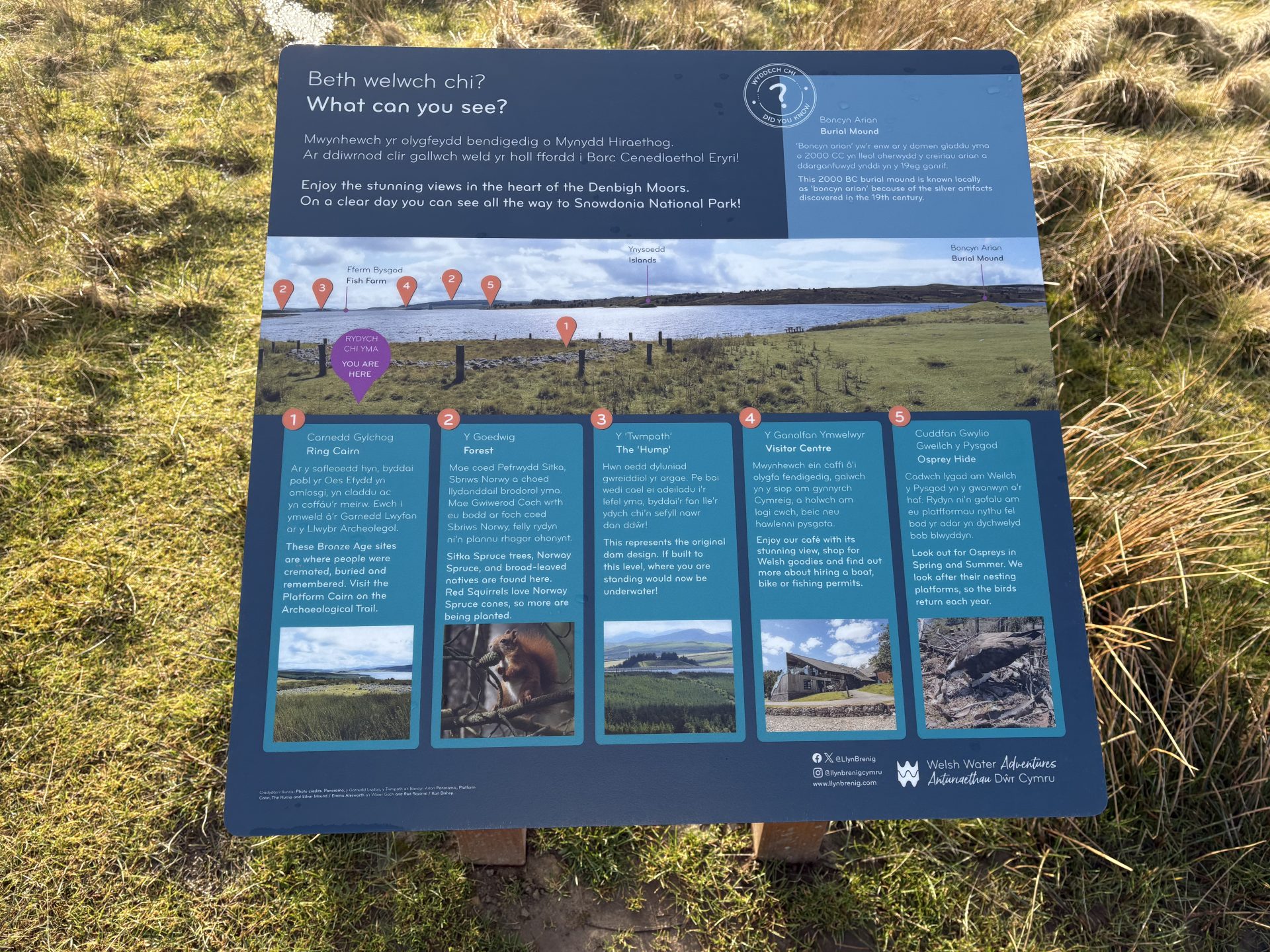
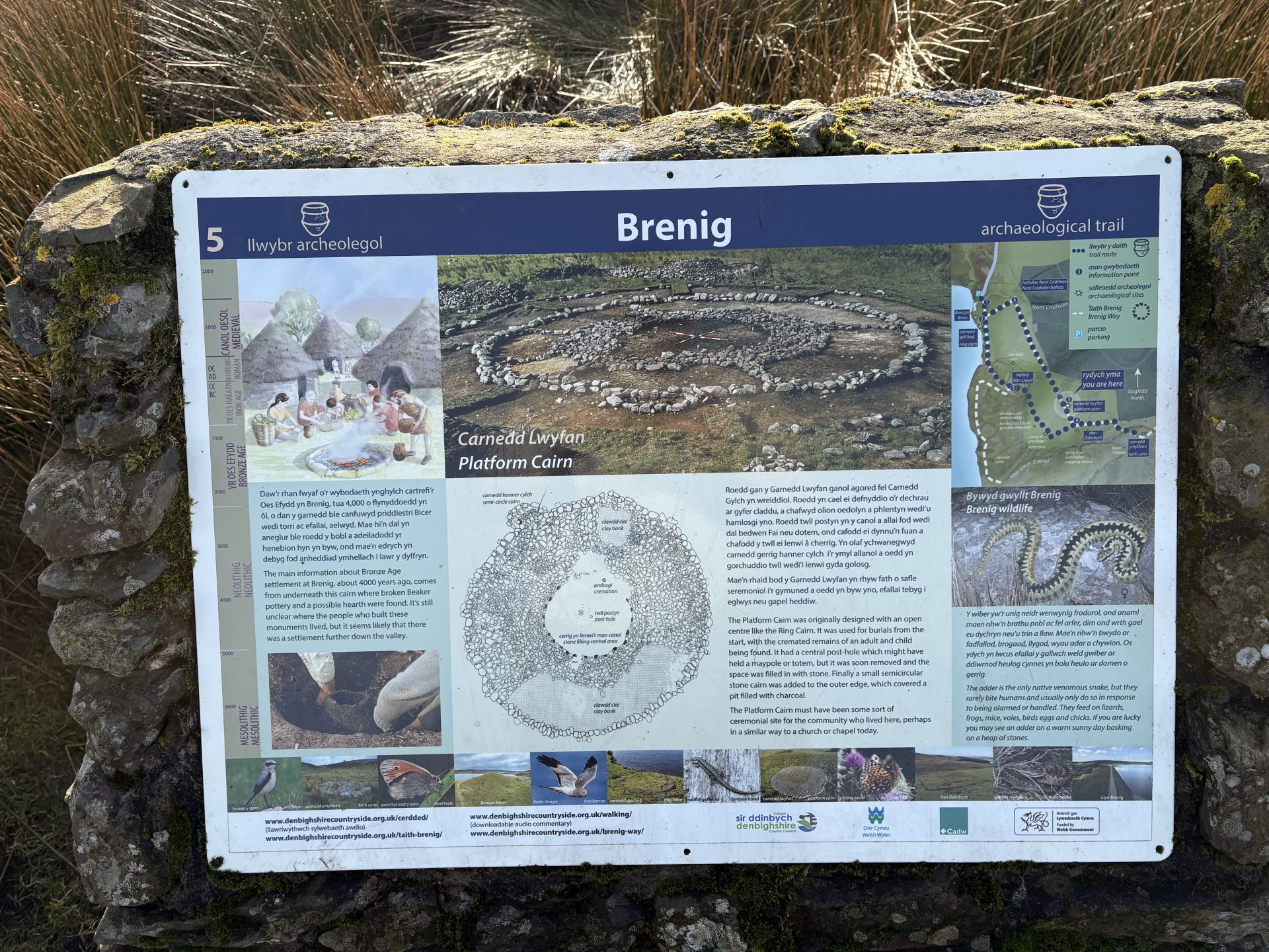
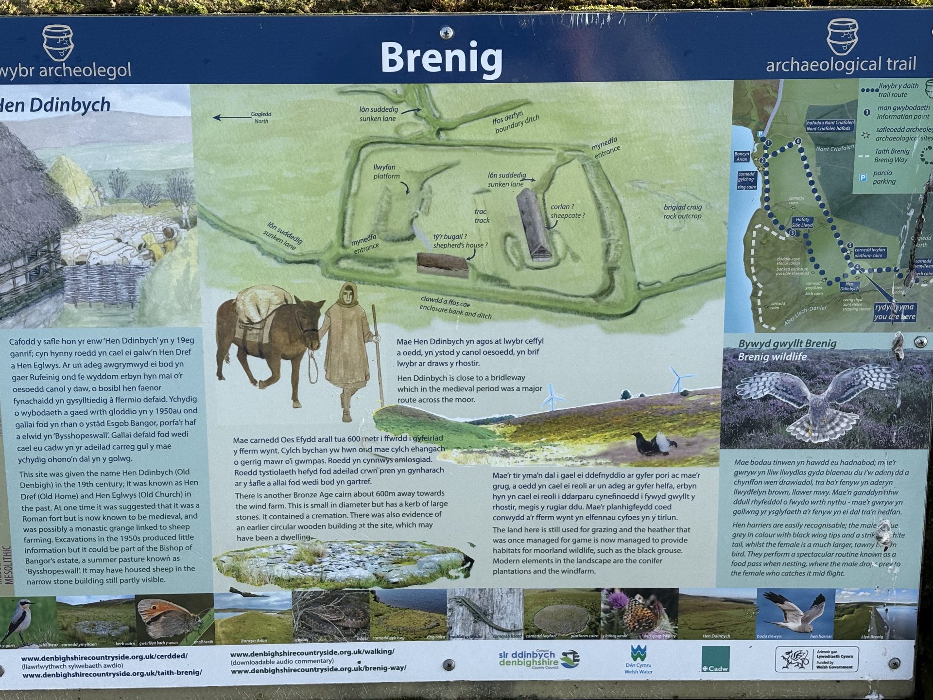
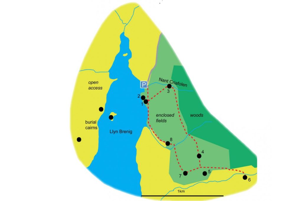
The trail is well signposted, with many wooden fingerposts, that display a pottery/vase symbol indicating that you are on the archaeological trail. From the carpark, follow the track further down past the old public toilets and you’re on it. Above you can see an official map of the trail, but we decided to avoid Nant Criafolen (3) and whilst we passed Hen Ddinbych (5) there are no photos in our guide as we want to primarily focus on Celtic monuments. If you want to follow the full trail then you can download the PDF here
How to get there
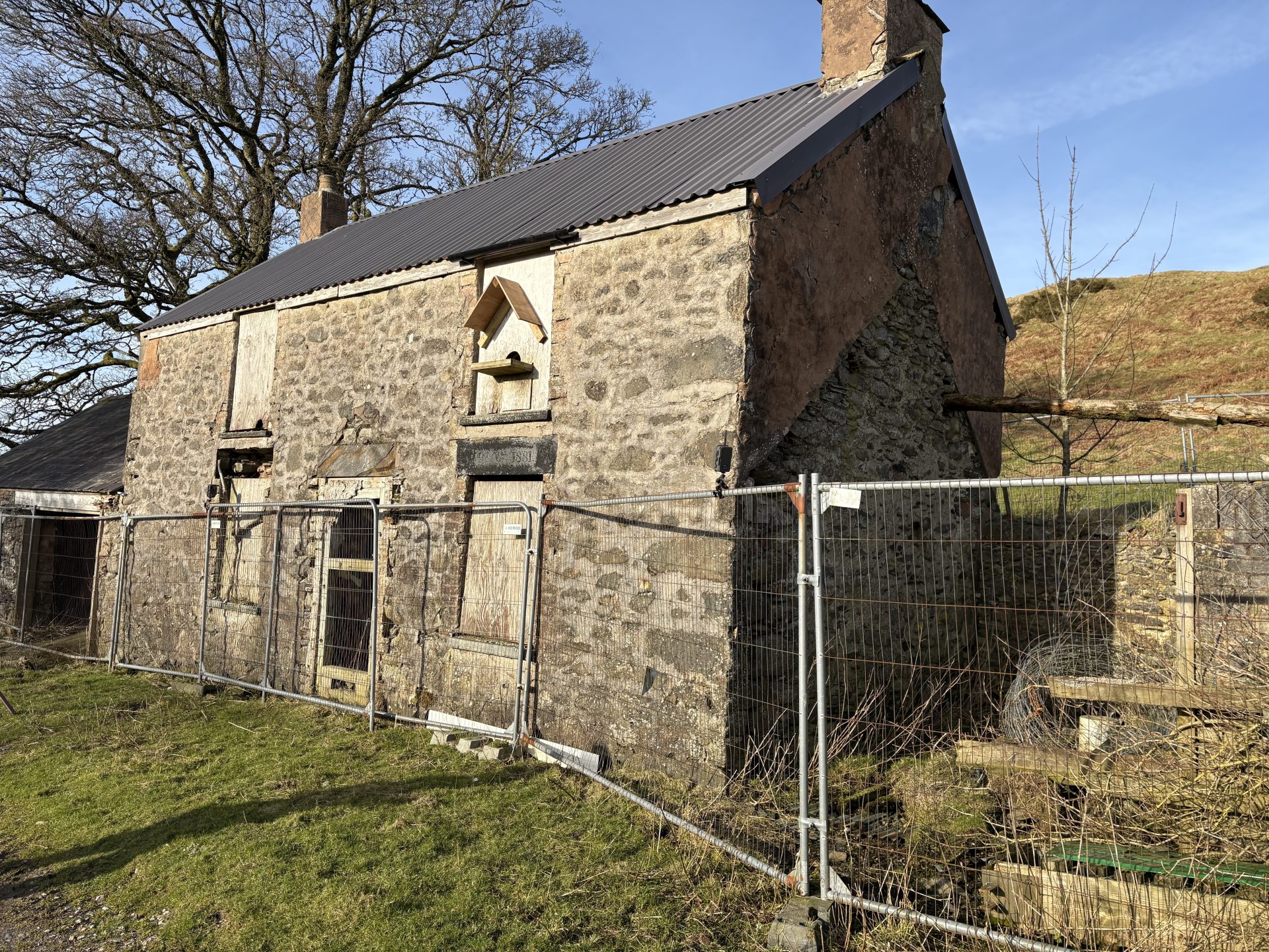
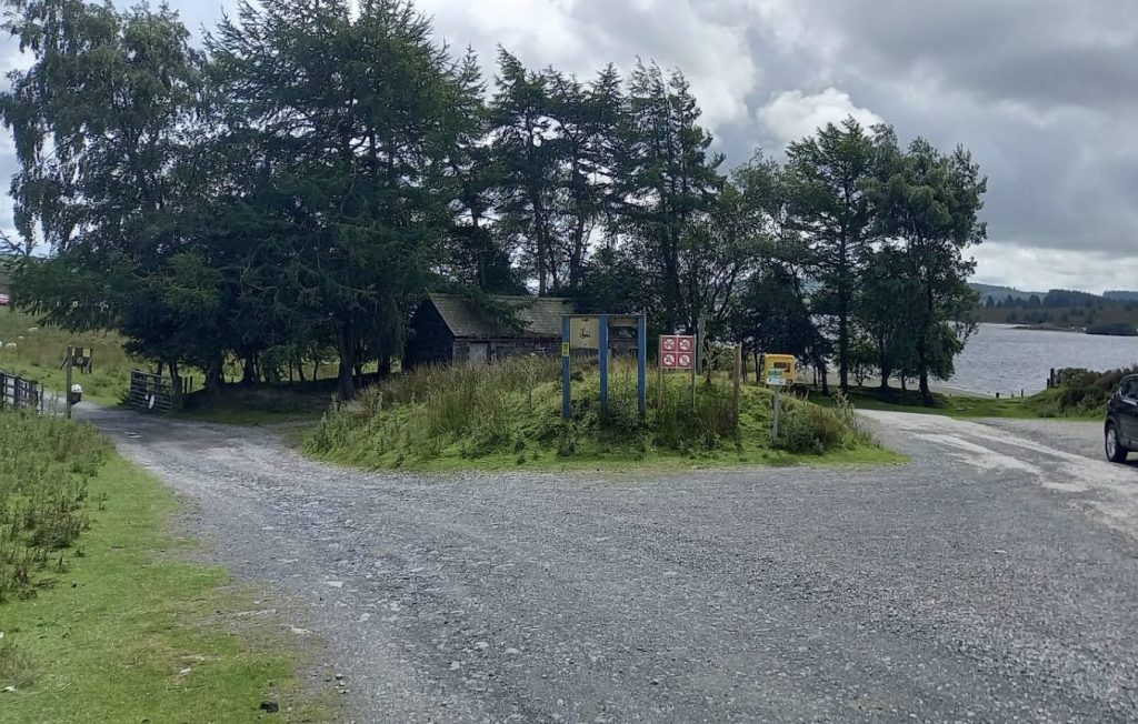
There is a small car park which is free and conveniently right by the start of the Archaeological Trail, it can fit around 8 cars and is very rarely full, you’ll know you’re there when you see an old public toilet thats boarded up (above)
Post Code:
Search: “Brenig Bird Hide and Archaeology Trail” and this will take you to the car park, make sure to type in those exact words, or click the links below for the pinned location in either Google Maps and Apple Maps.
Alternatively, you can go to the visitor centre which has very large car park, but if you park here the walk will take you a very long time as its at the opposite end of the lake. You can hire bikes from there, however there are areas on the Archaeological Trail that you won’t be able to access with a bike. So keep that in mind.
Boncyn Arian
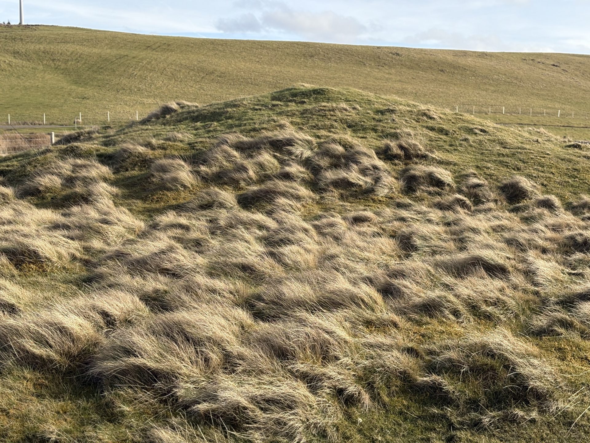
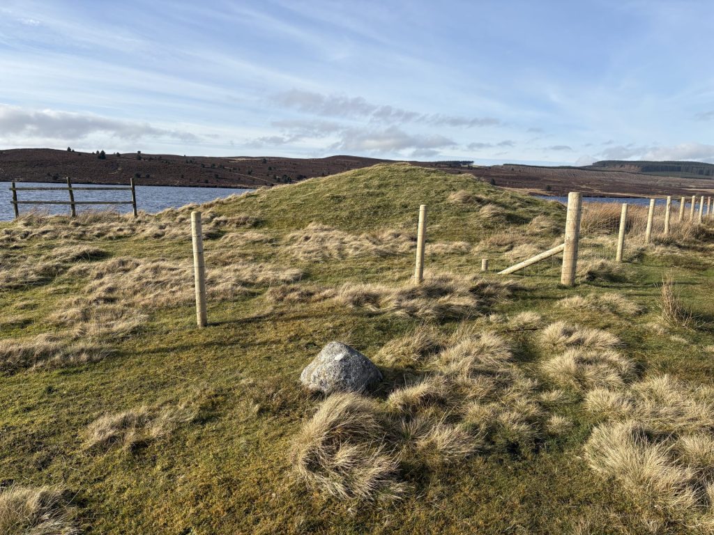
The first monument you’ll come across is the bronze age burial mound known as Boncyn Arian. Excavations found a central grave beneath the mound containing 6 cremations of which two were contained in pottery urns.
Brenig Ring Cairn 44
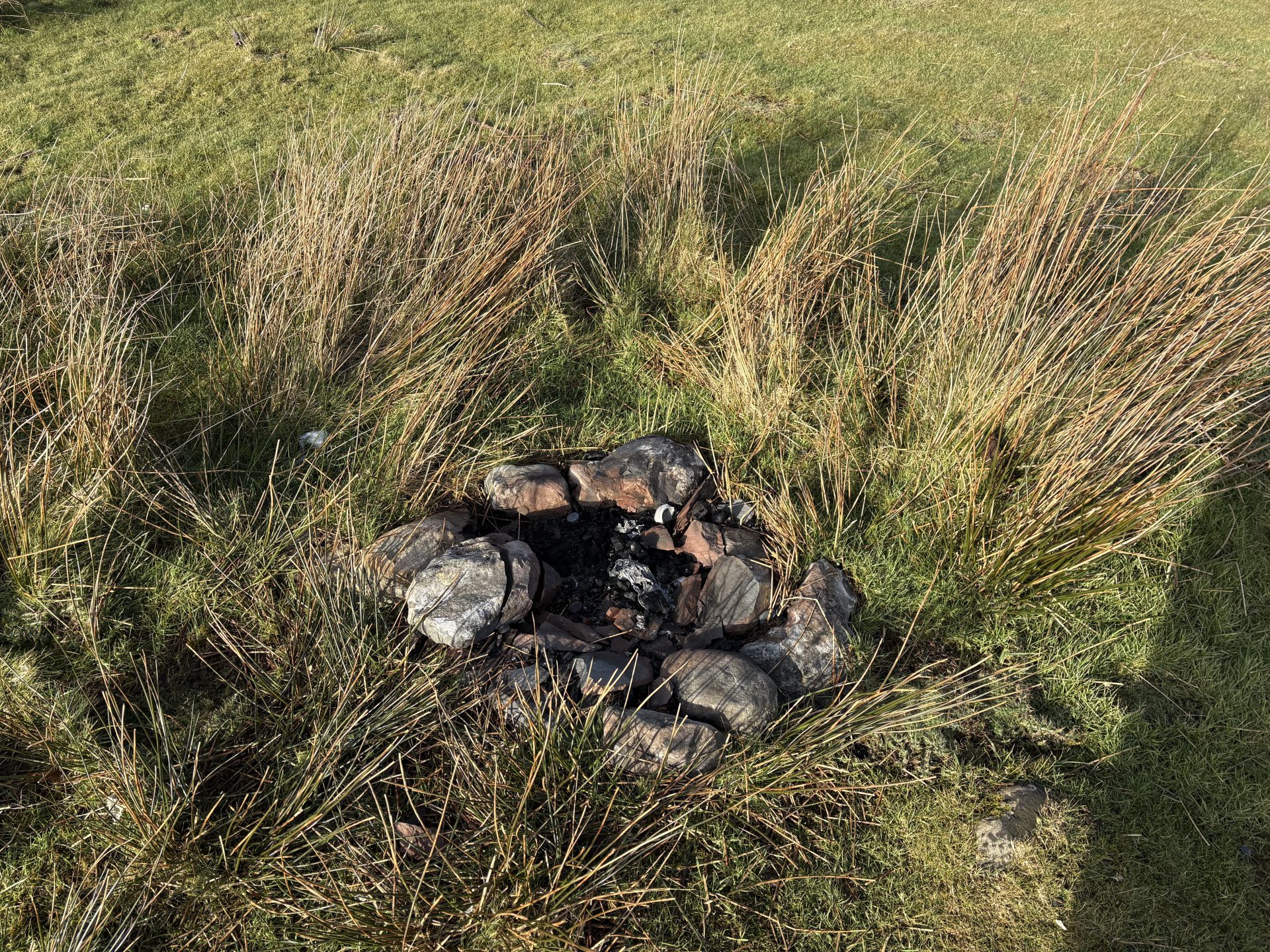
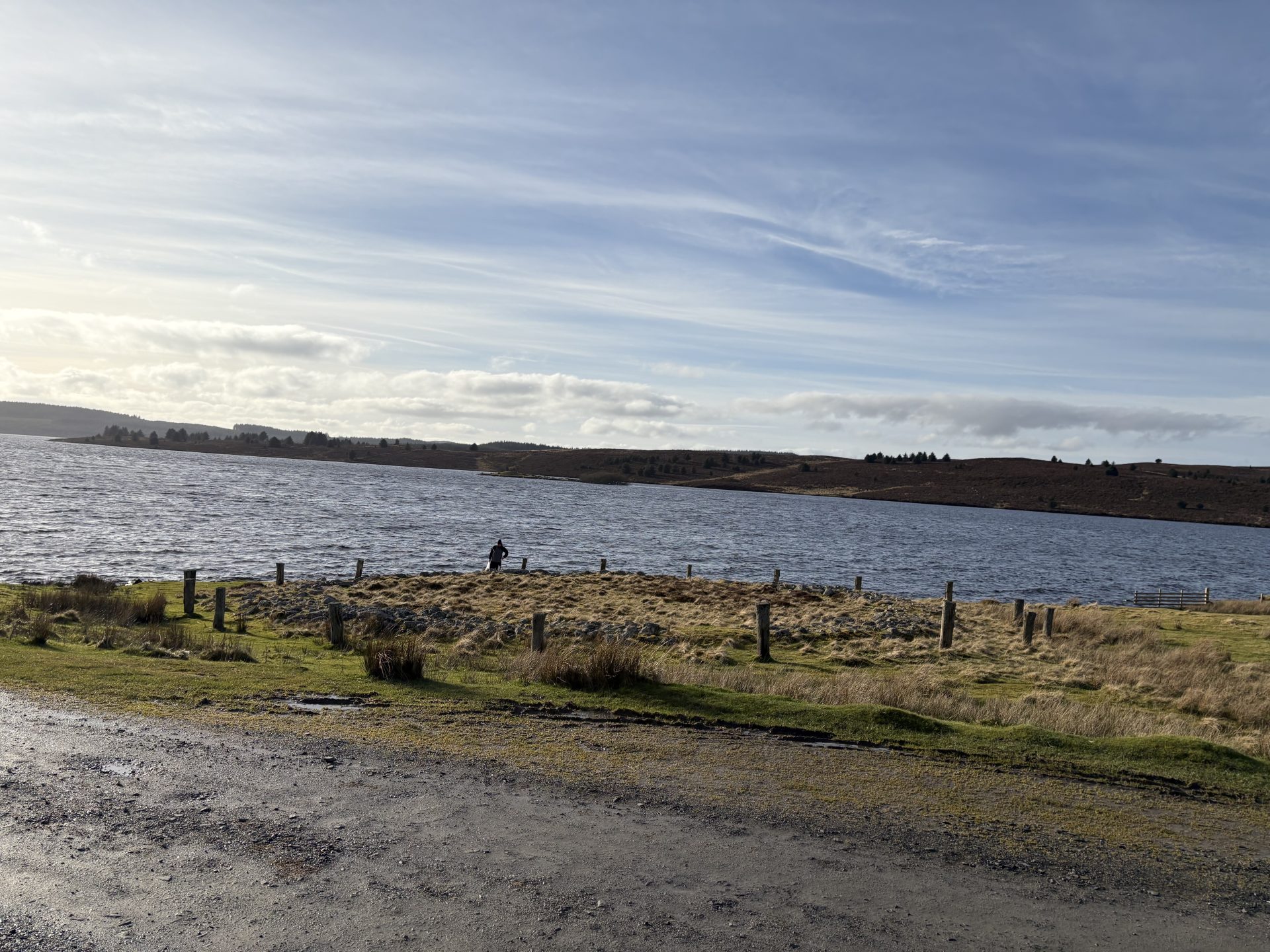
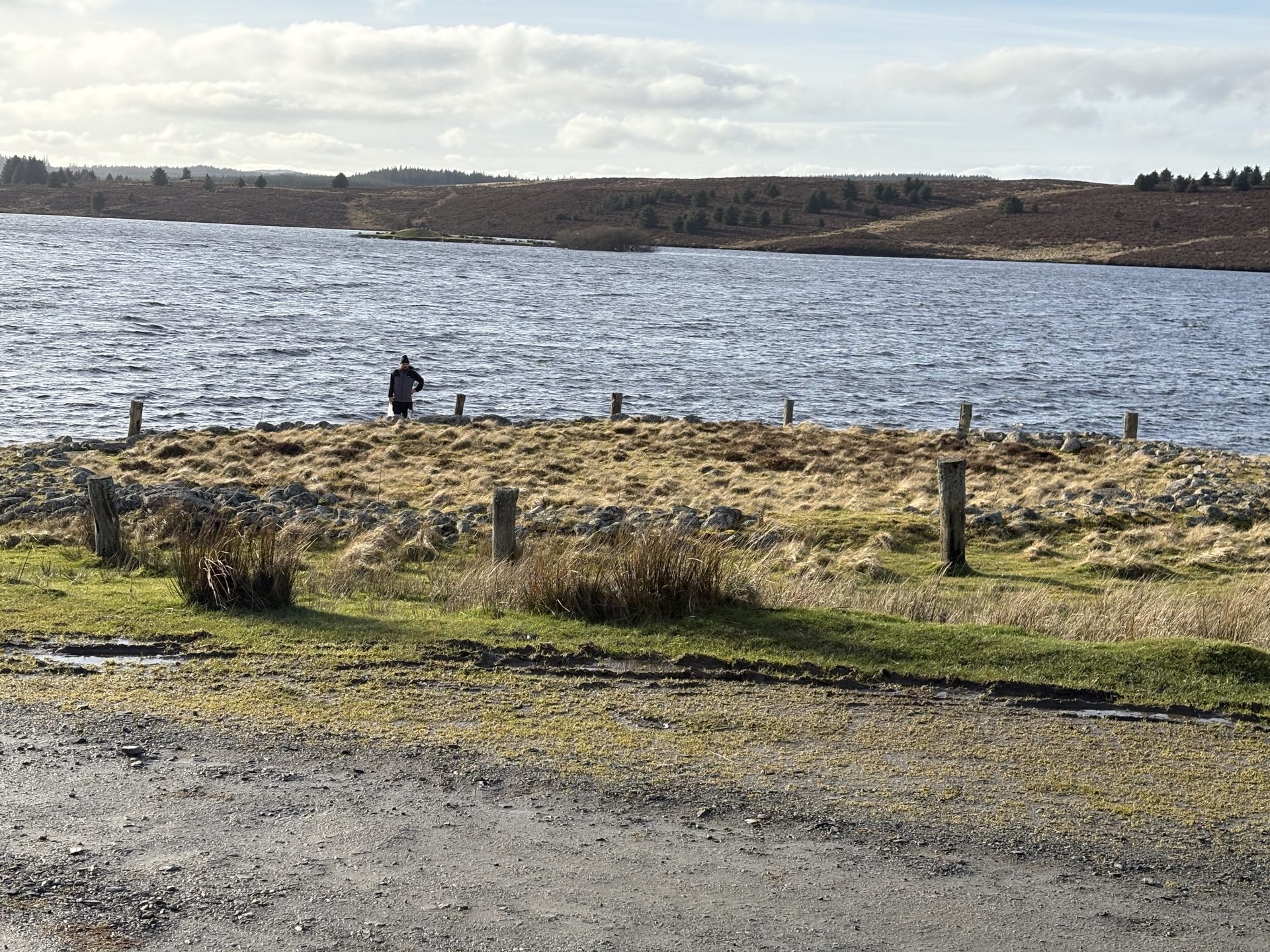
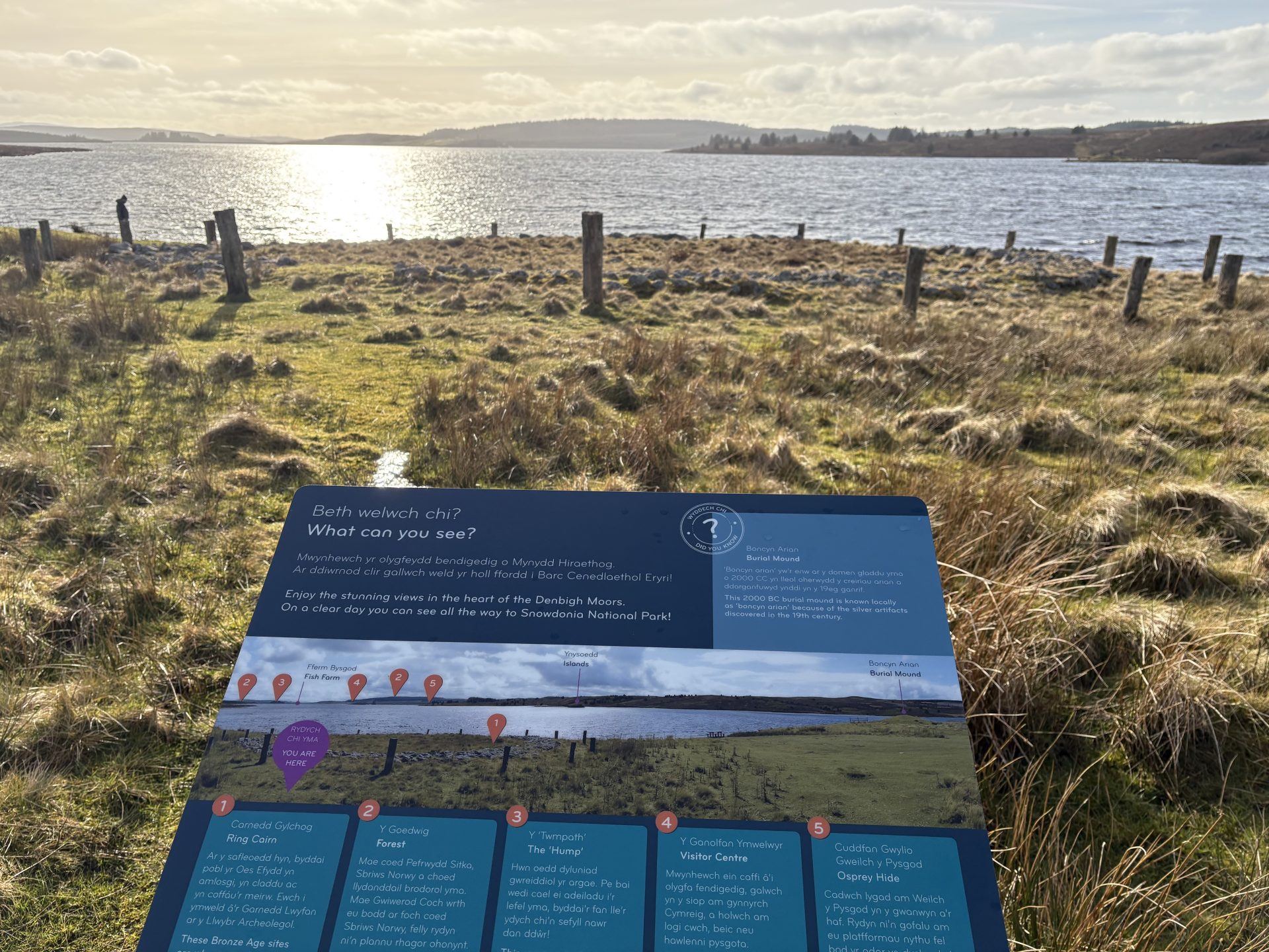
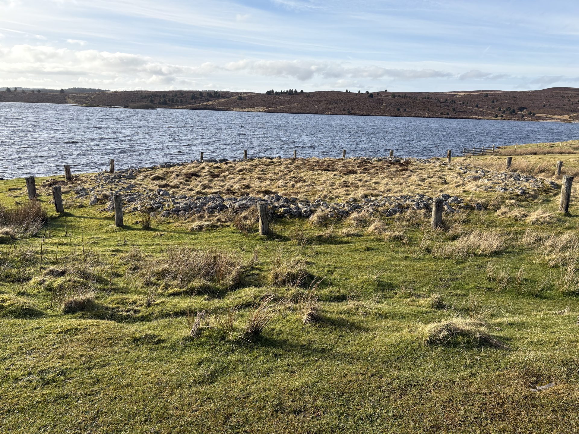
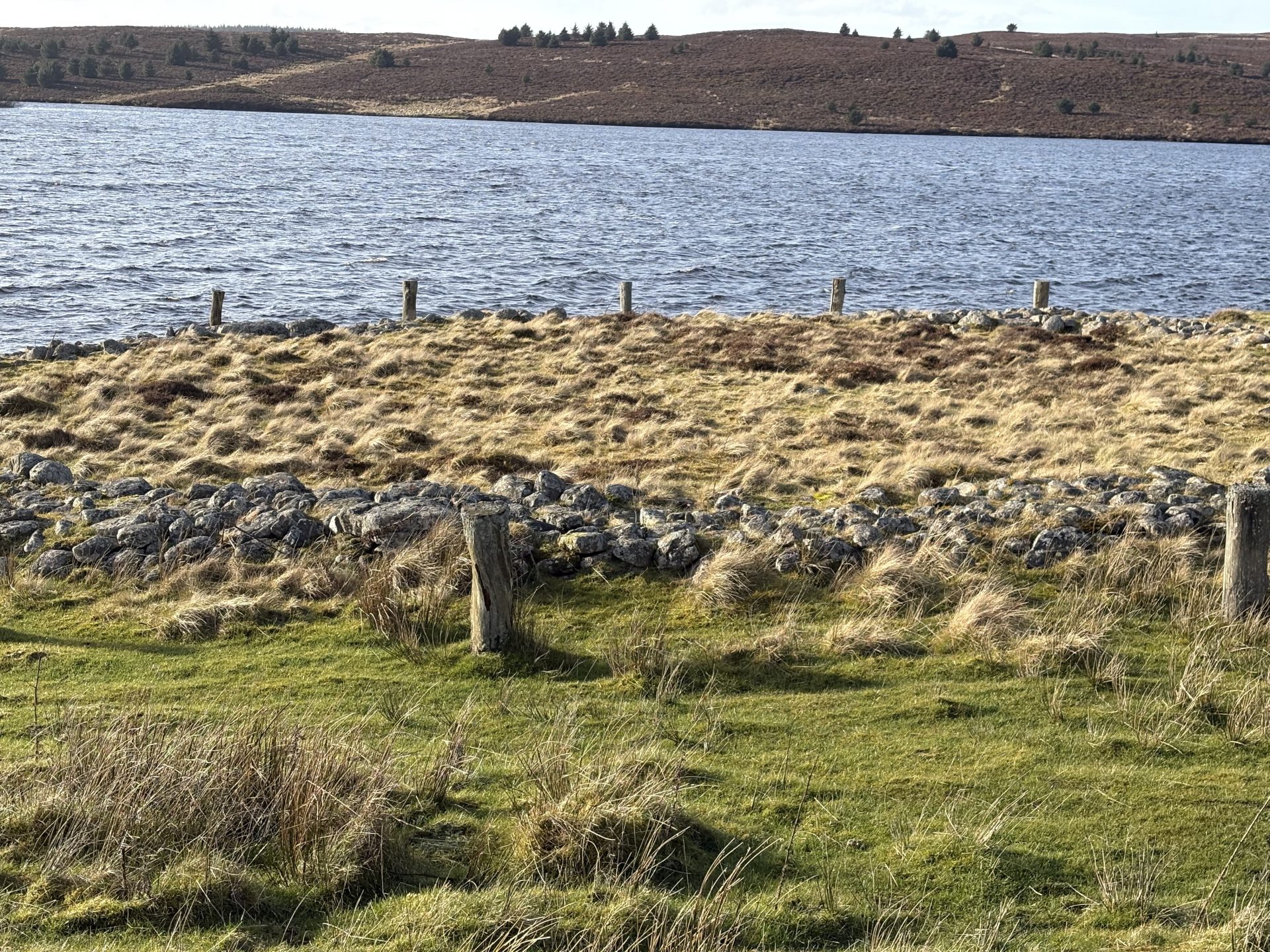
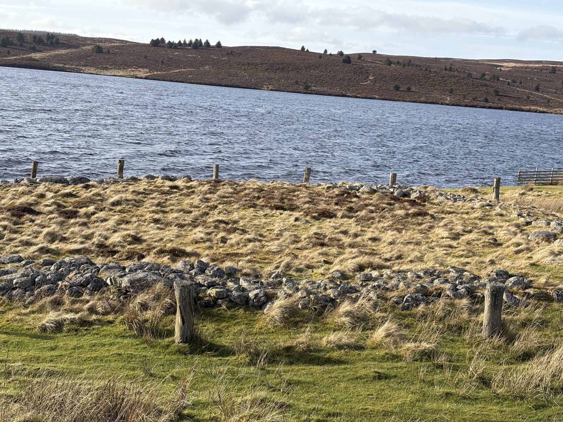
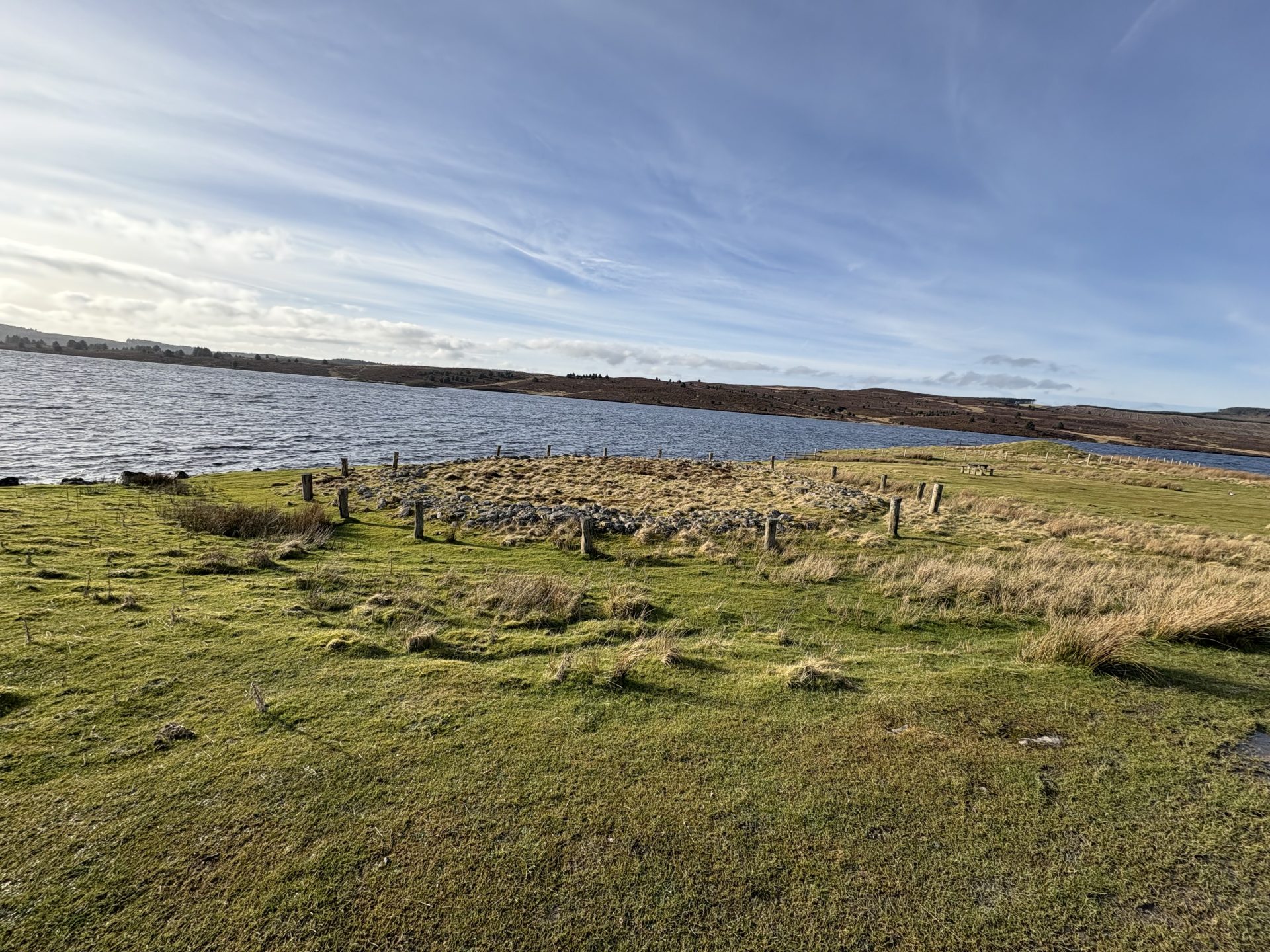
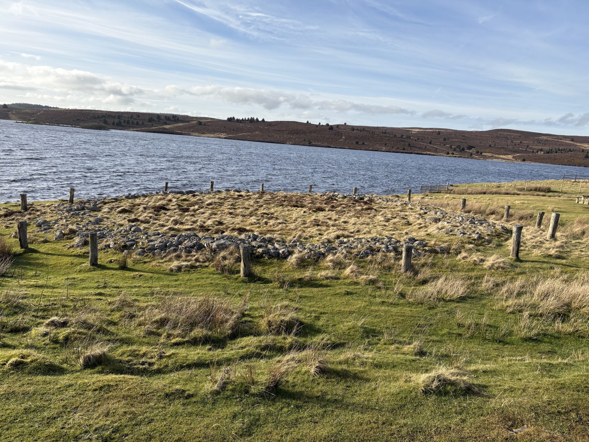
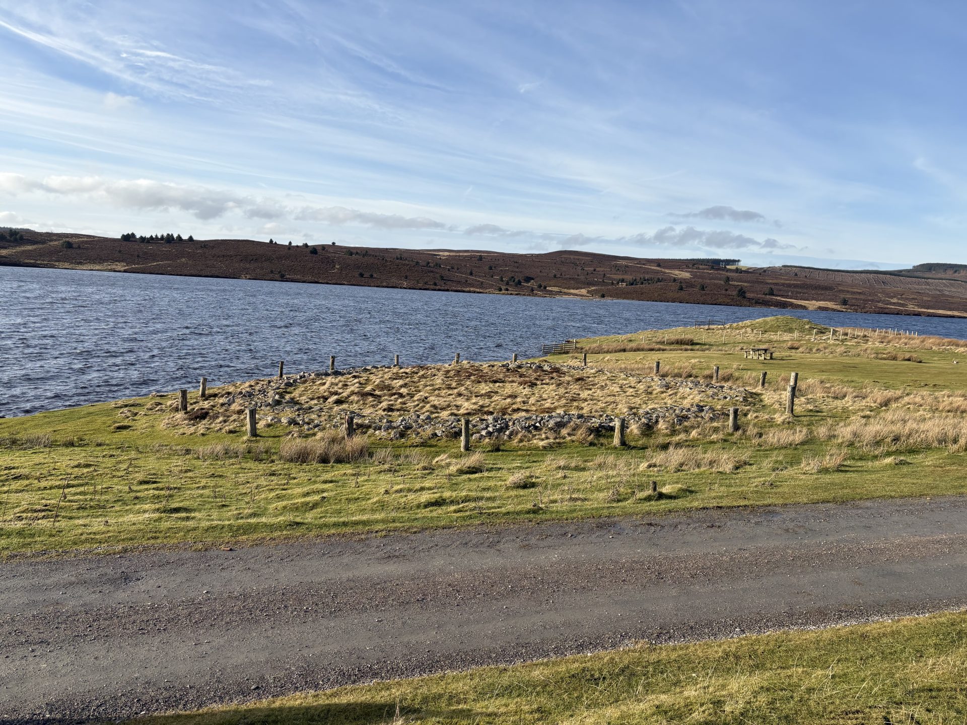
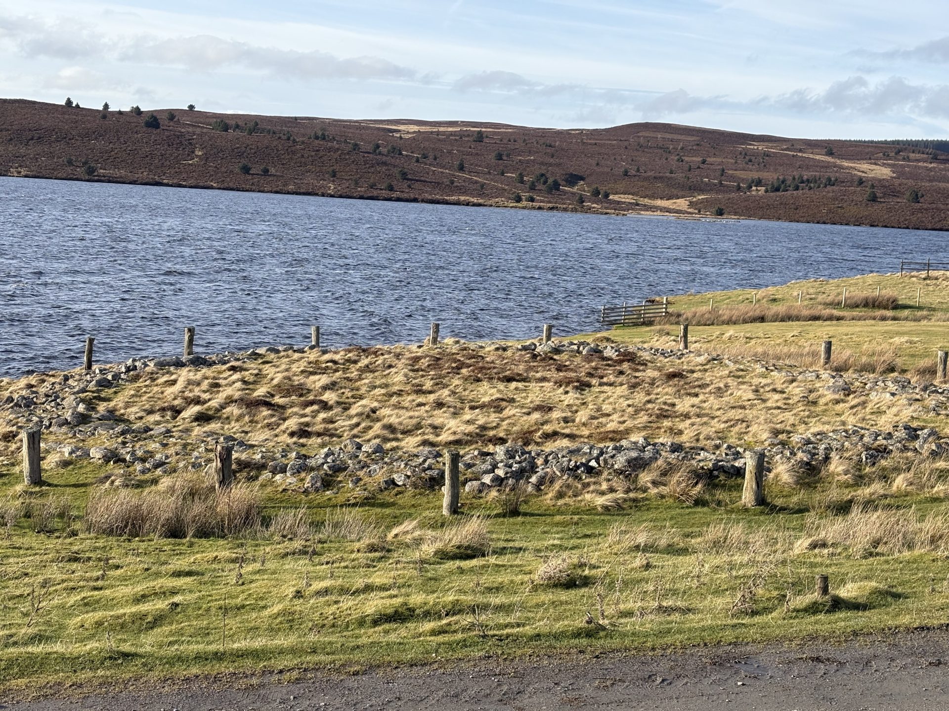
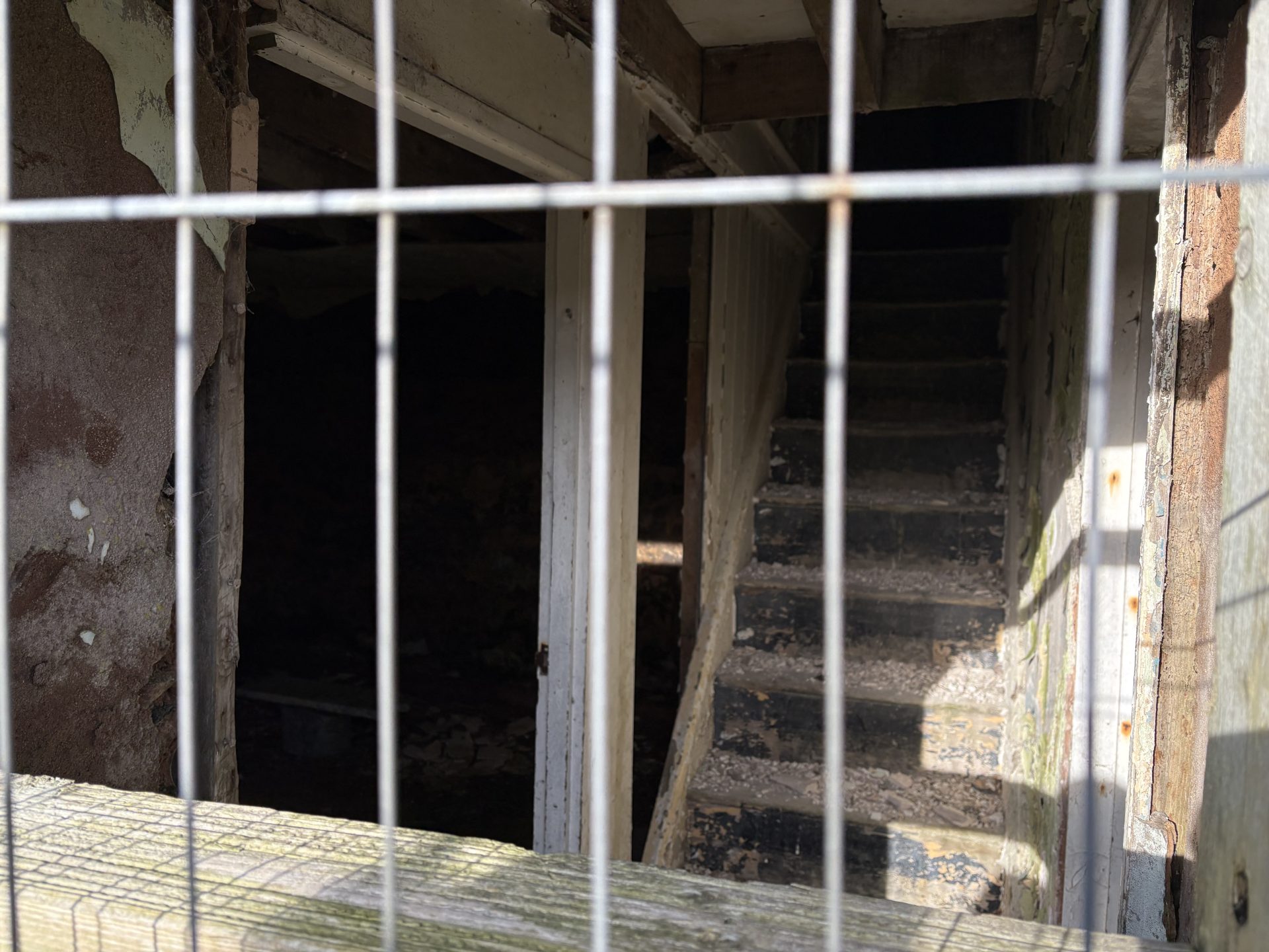
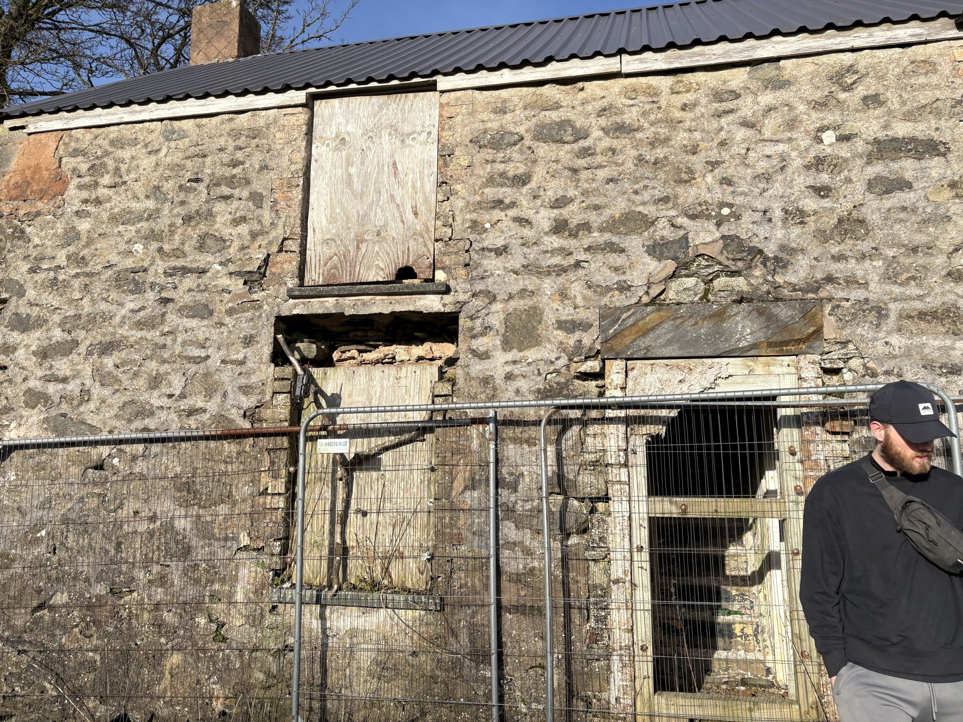
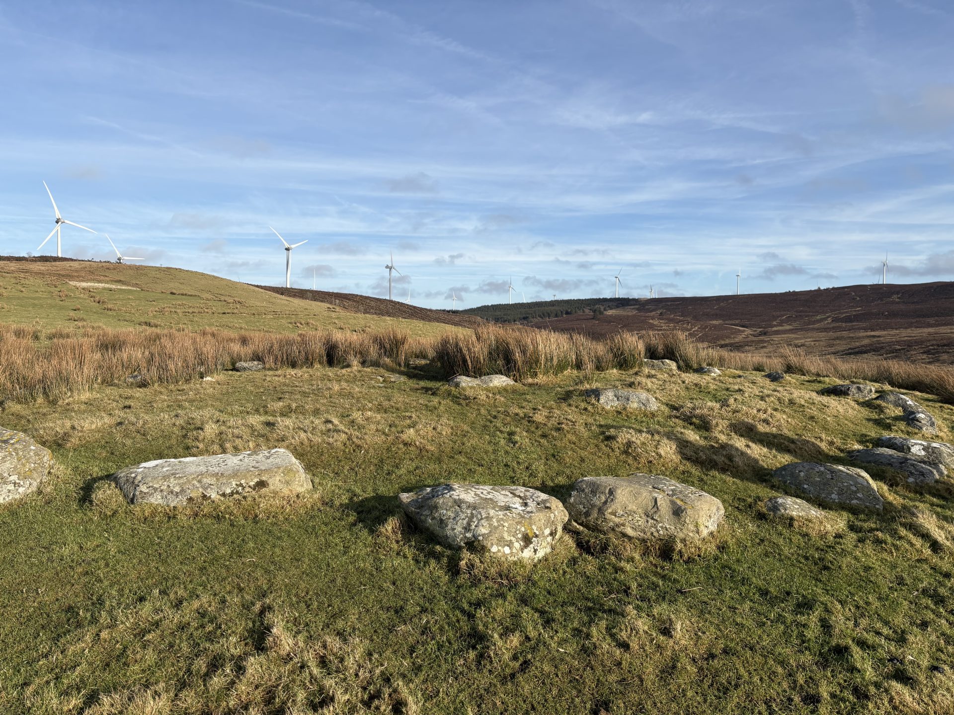
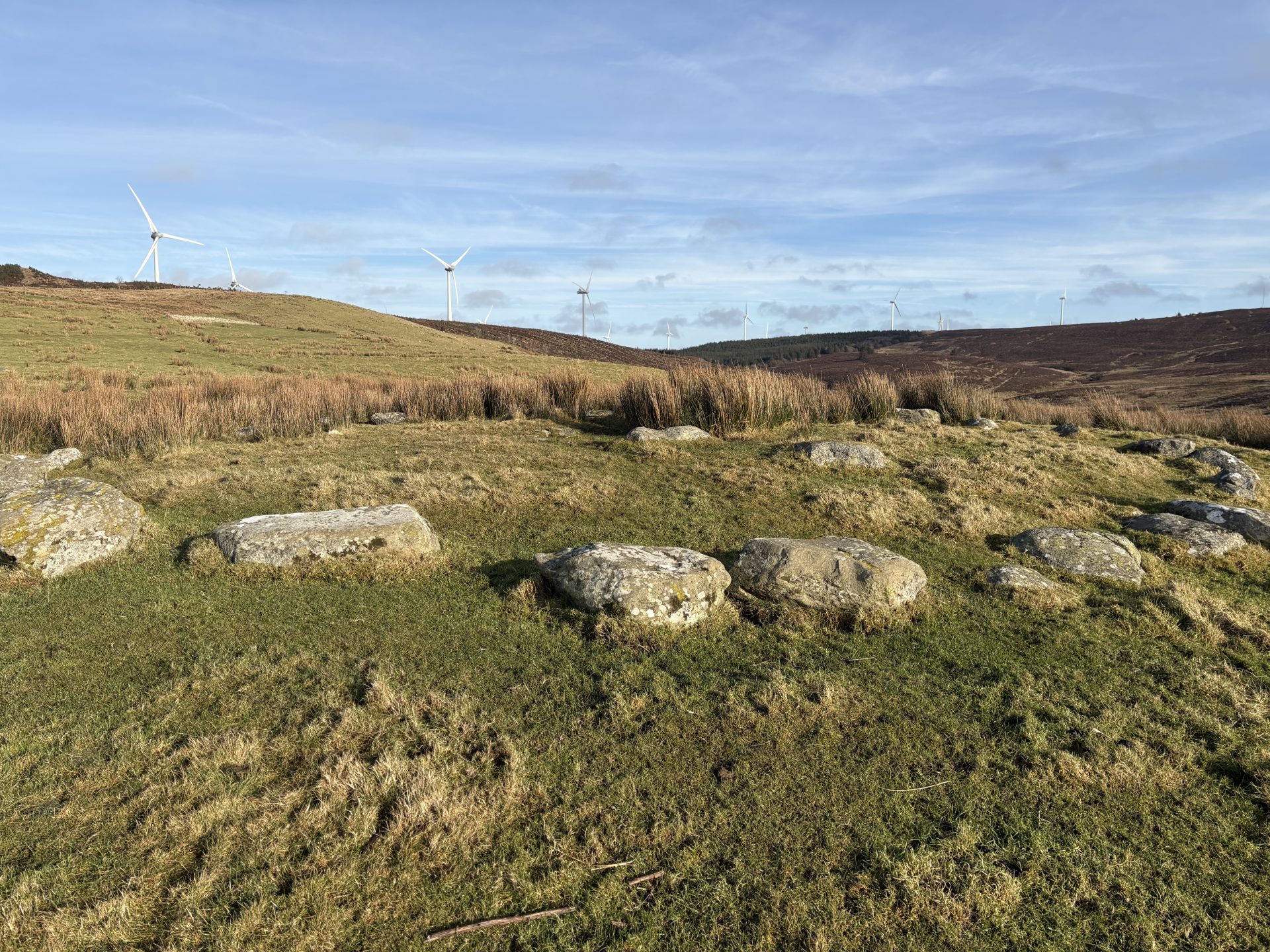
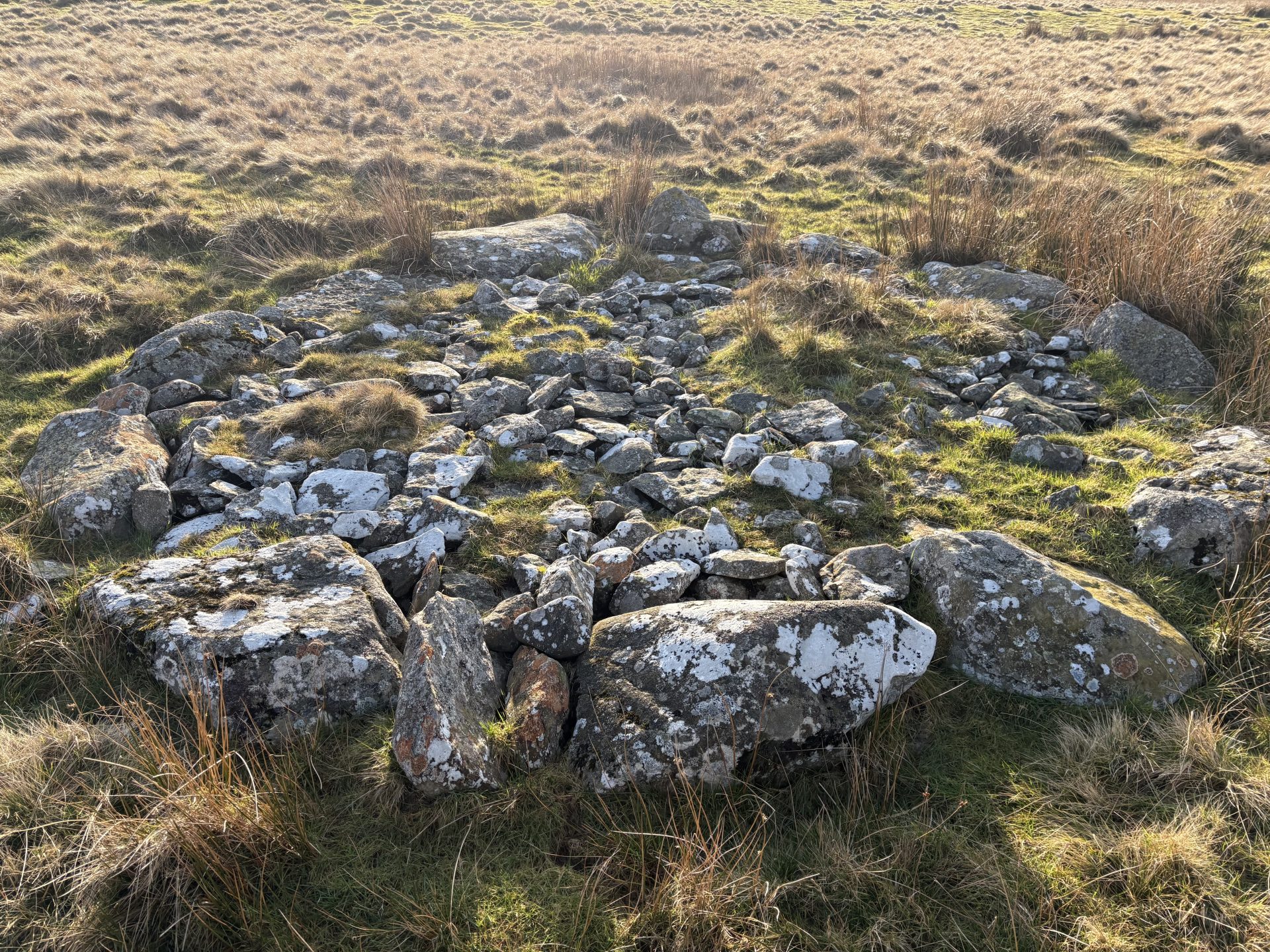
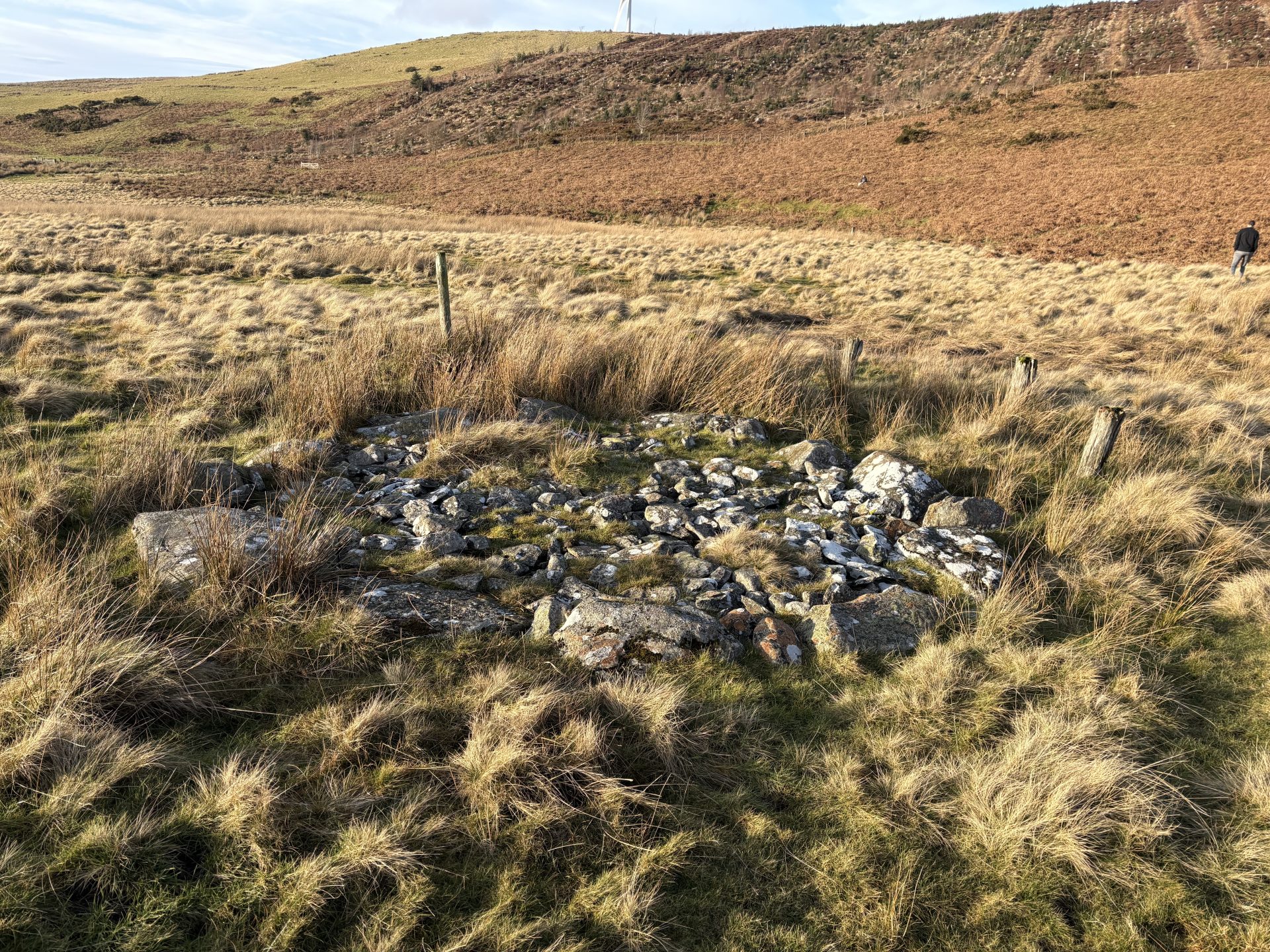
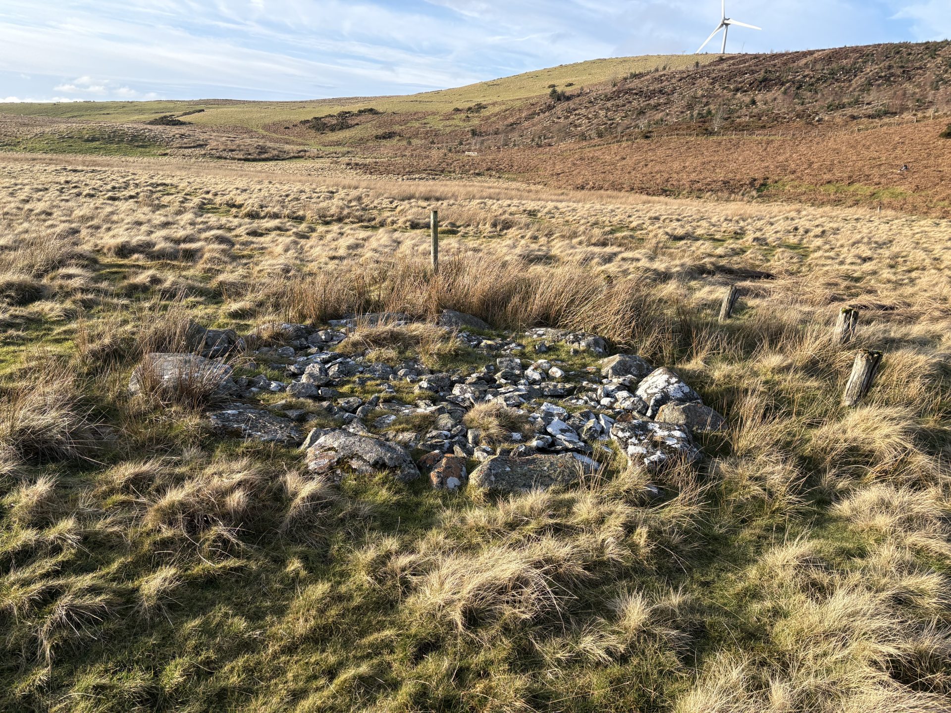
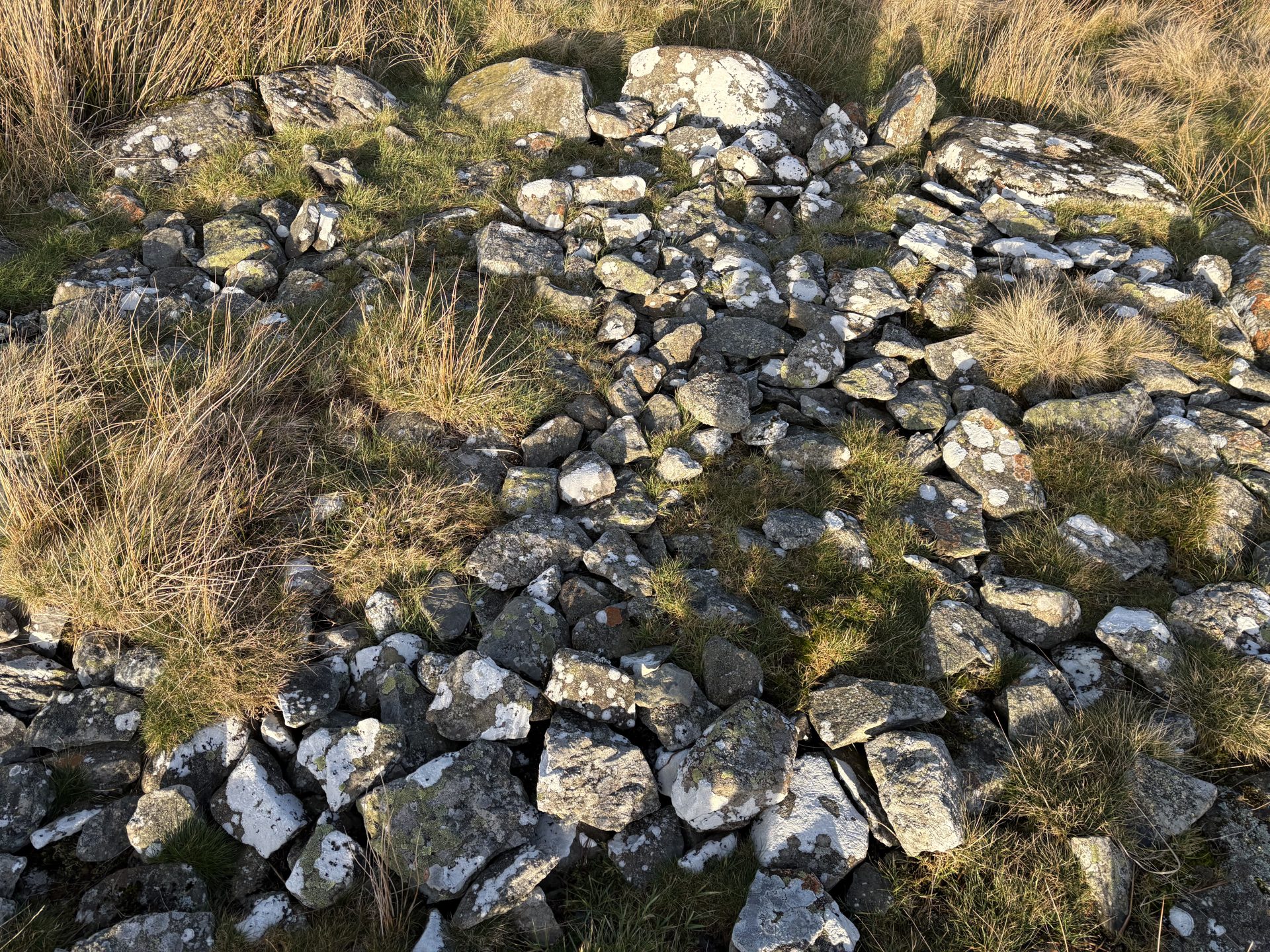
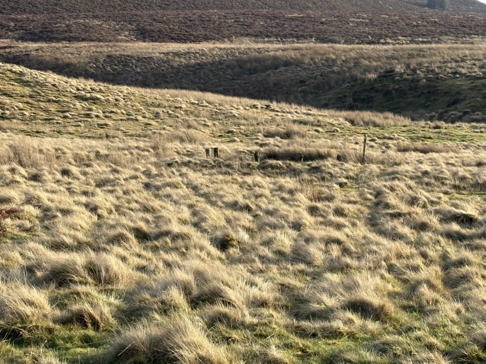
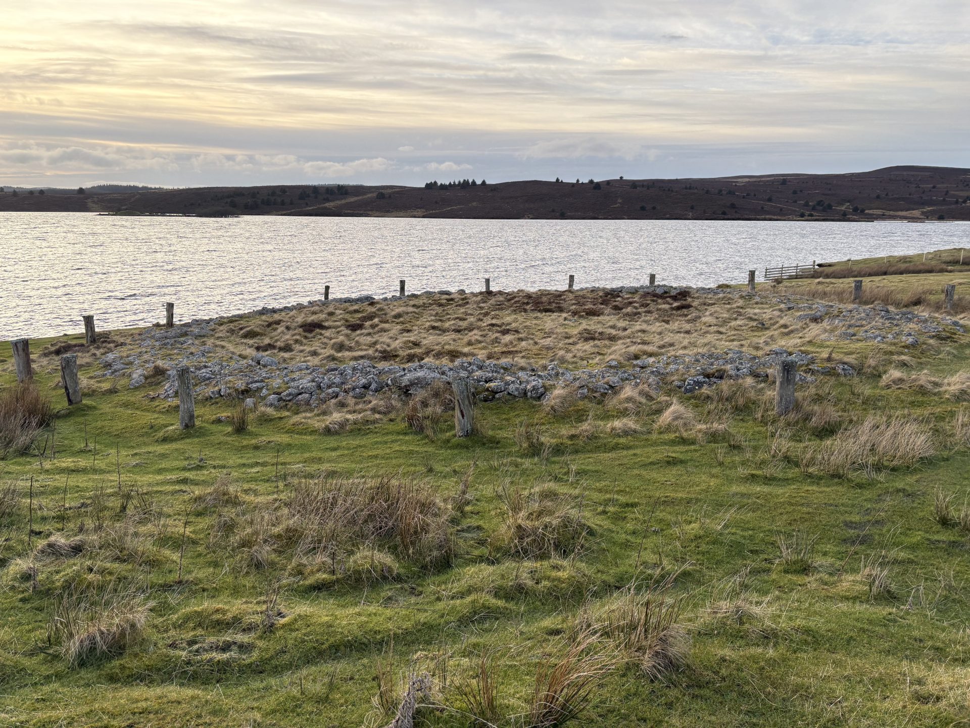
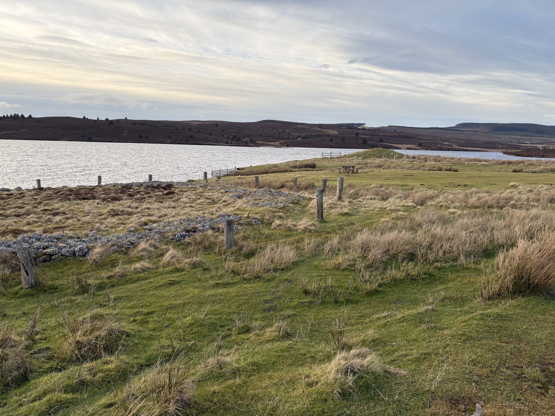
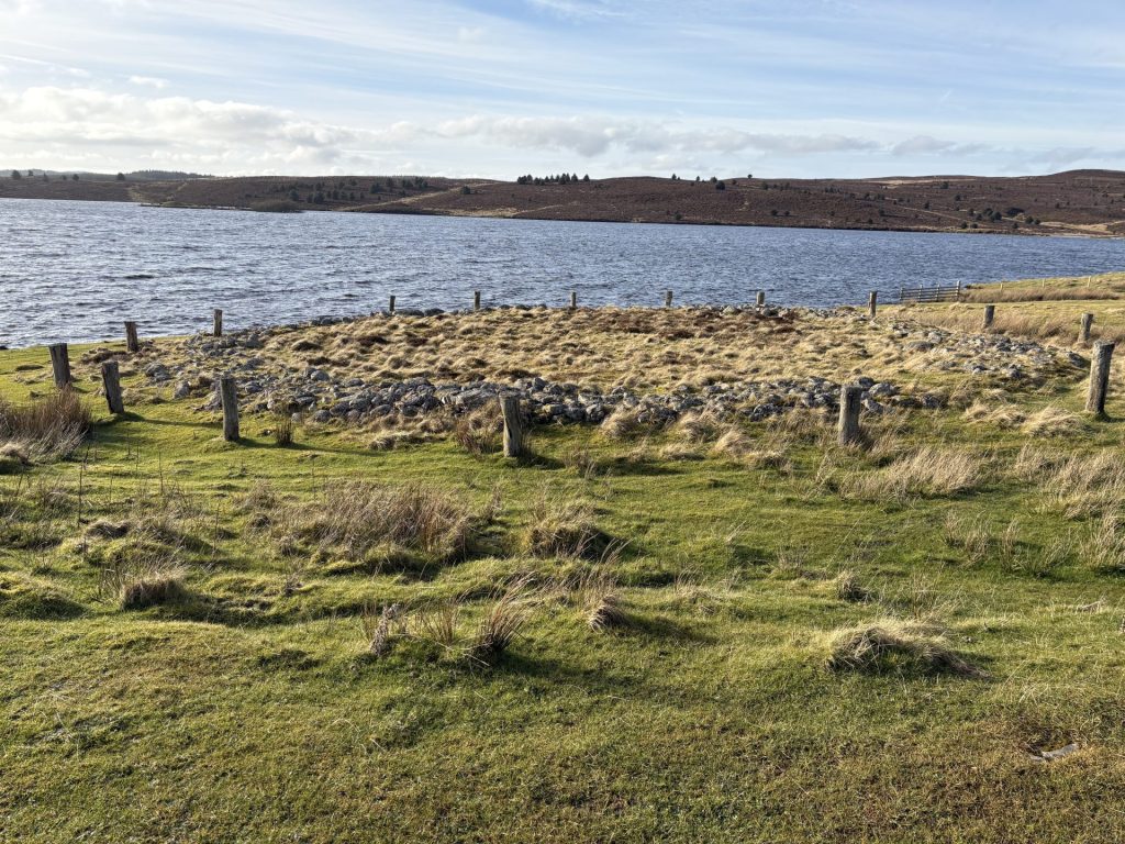
Just a few metres from Boncyn Arian, you’ll see another fantastic bronze age ring cairn known as Brenig Ring Cairn 44 that dates back to 2000-1500BC. You can even see this on Google Maps satellite when you zoom in enough to the car park. This ring cairn was believed to be used for ceremonies, and originally had posts all around the outside of the stone ring you see today. There was a cremation placed in the centre of the ring and on the sides which was discovered during the excavation. The usual track would have you headed up to some old farmhouses, but we think this route is better, so carry on walking along the path until you see an old farmhouse known as Hafotty Siôn Llwyd
Kerbed Cairn
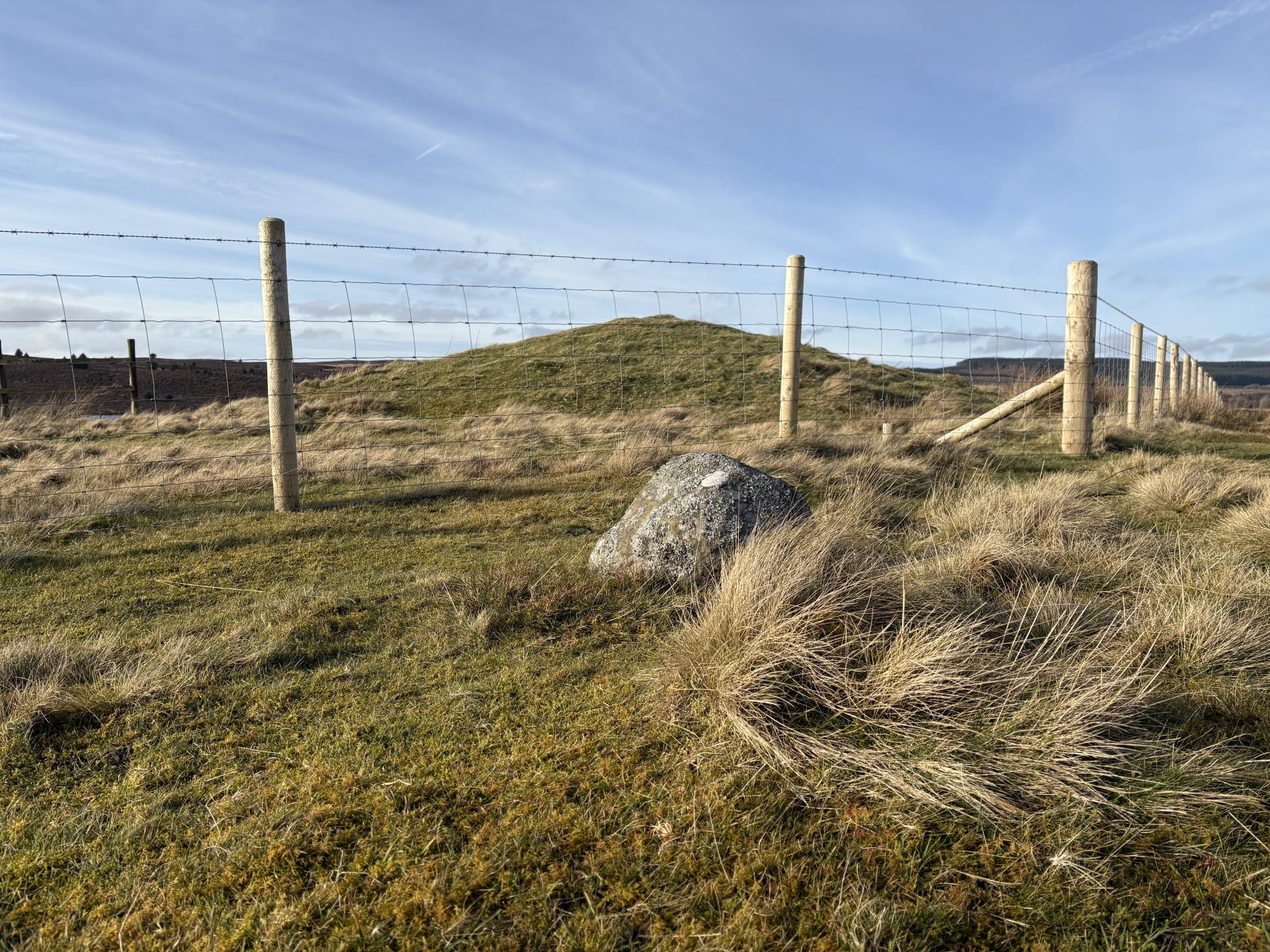
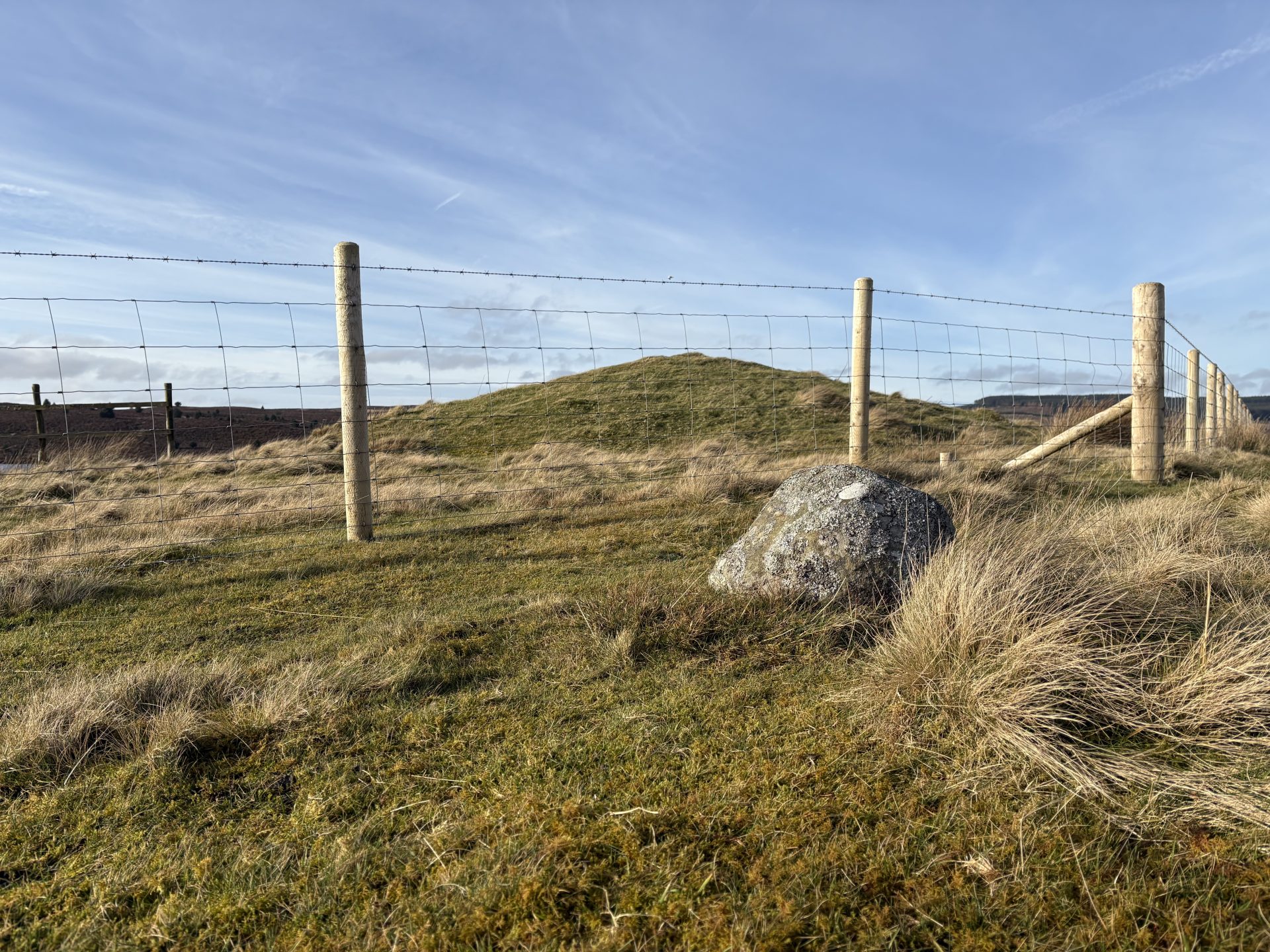
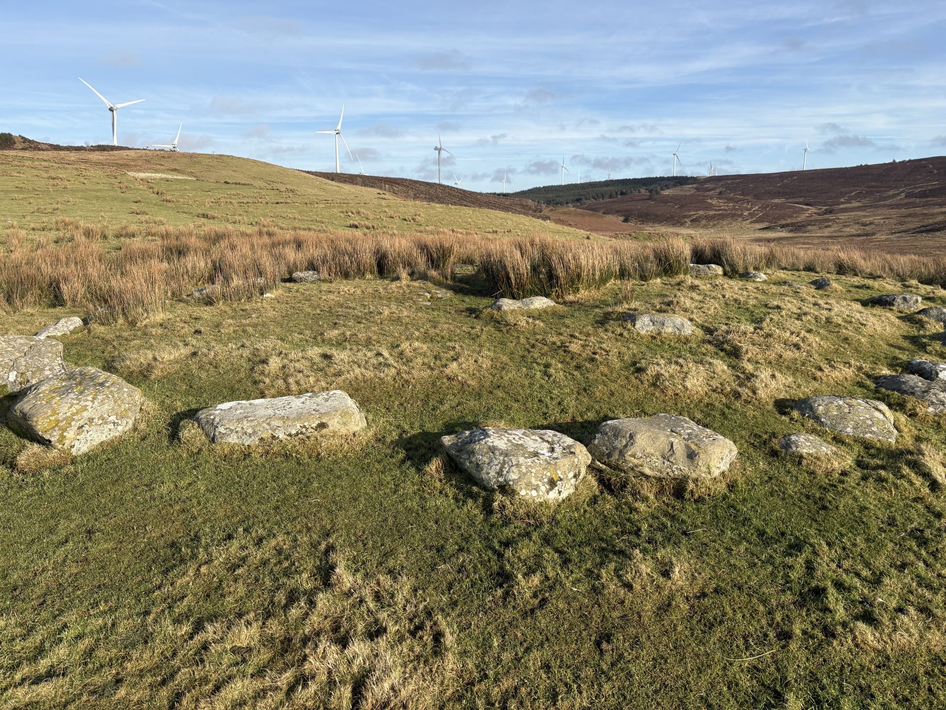
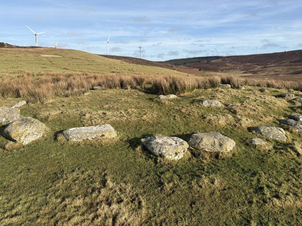
You’ll then come across a small Kerb Cairn. Unfortunately we couldn’t find much information on this Kerbed Cairn. In general, kerb cairns are mini mounds surrounded by a circle of stones and it is likely that in this case it was a place of burial. Marked number 7 on the map.
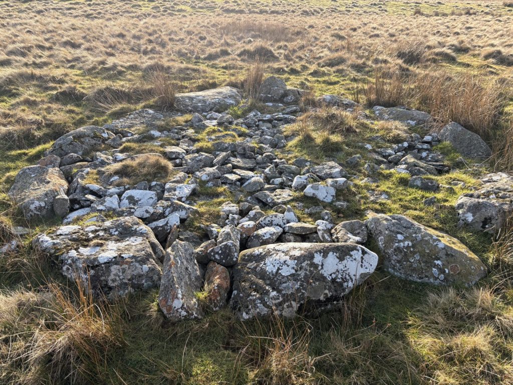
Kerbed Cairn (2)
Another Kerbed Cairn right on the way down, be wary as it can get extremely wet down there so make sure you wear some appropriate footwear.
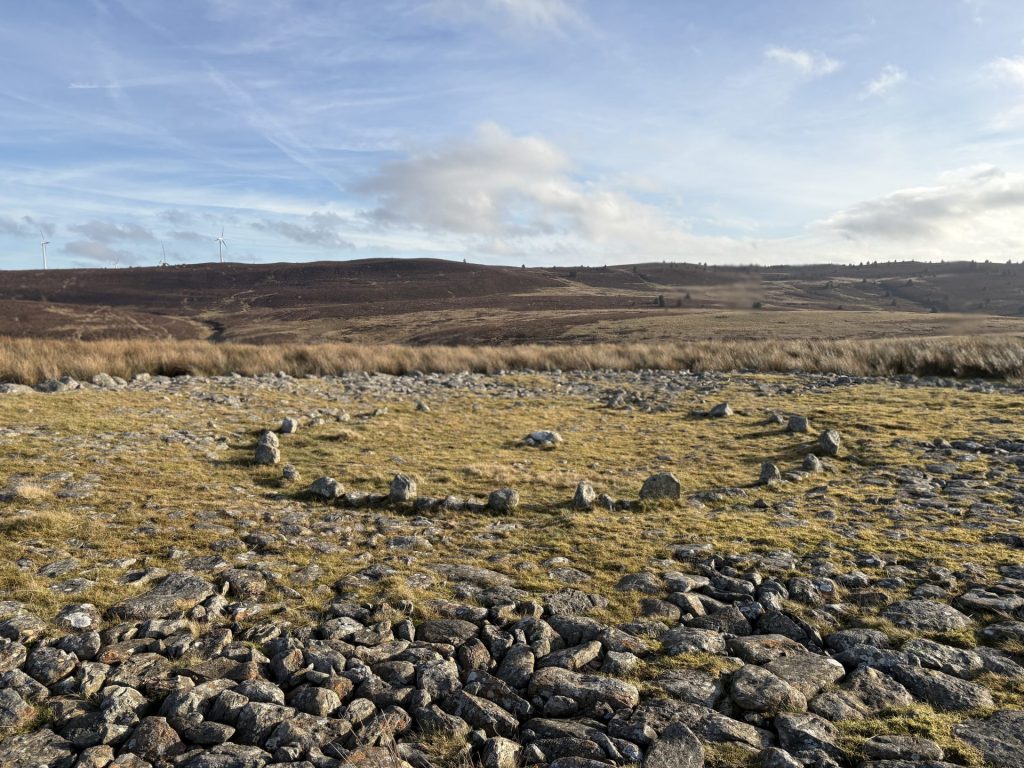
Platform Cairn
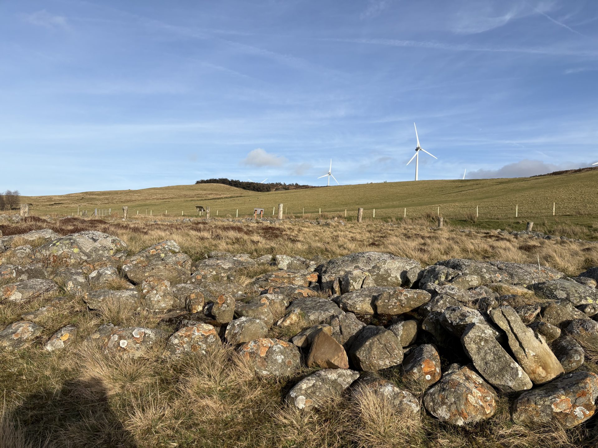
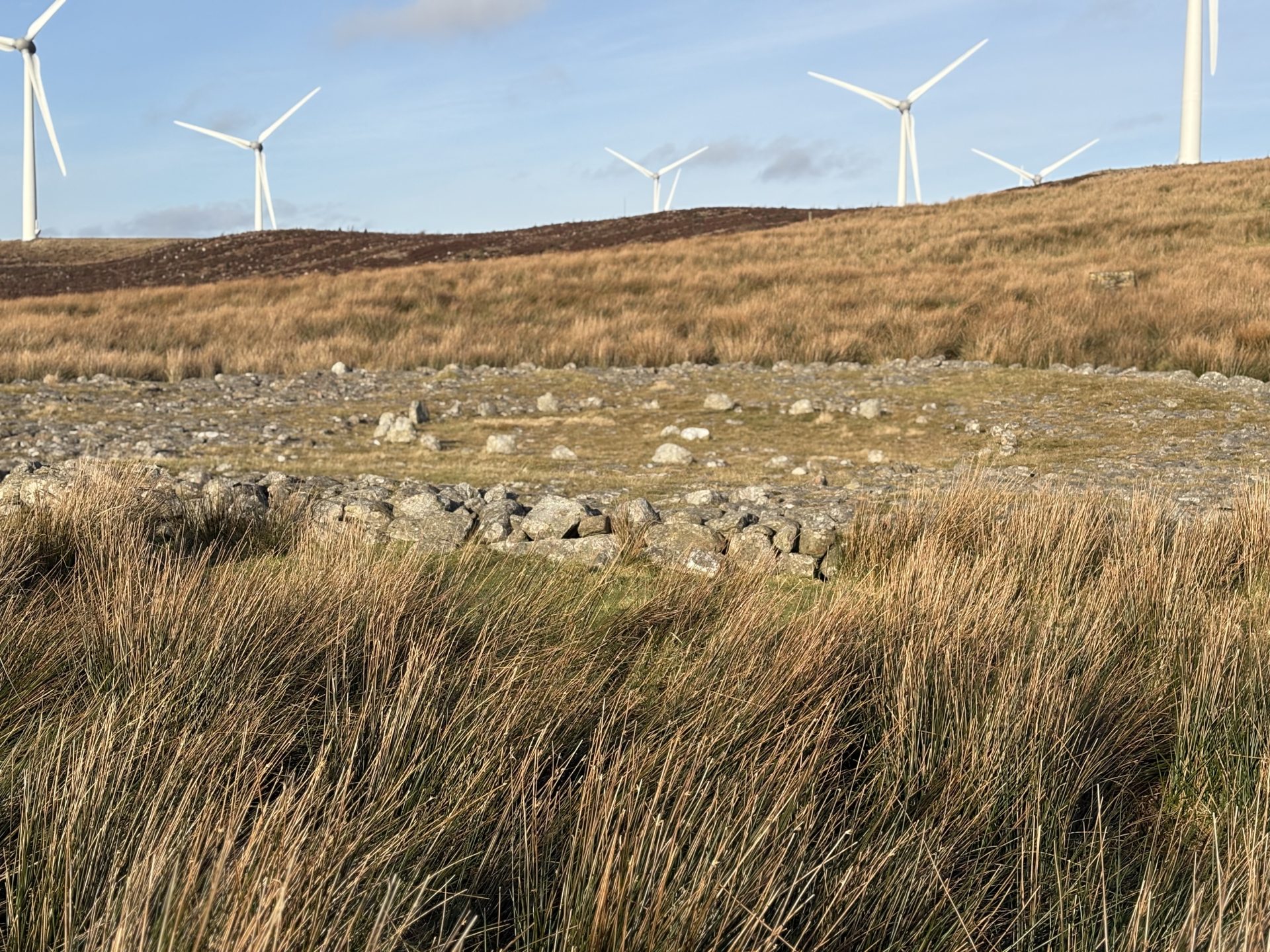
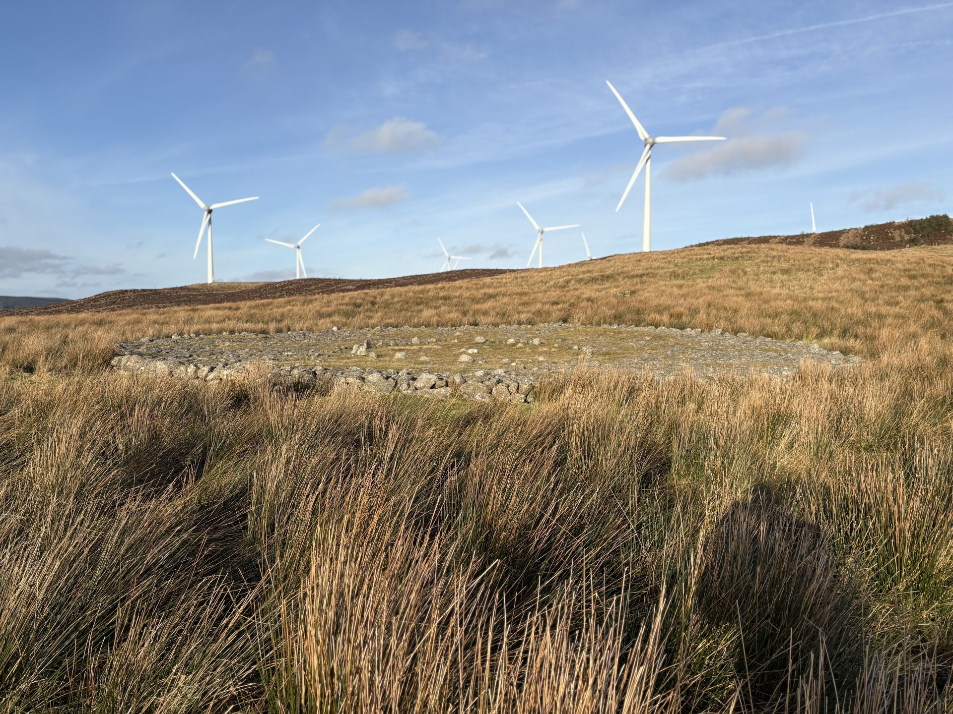
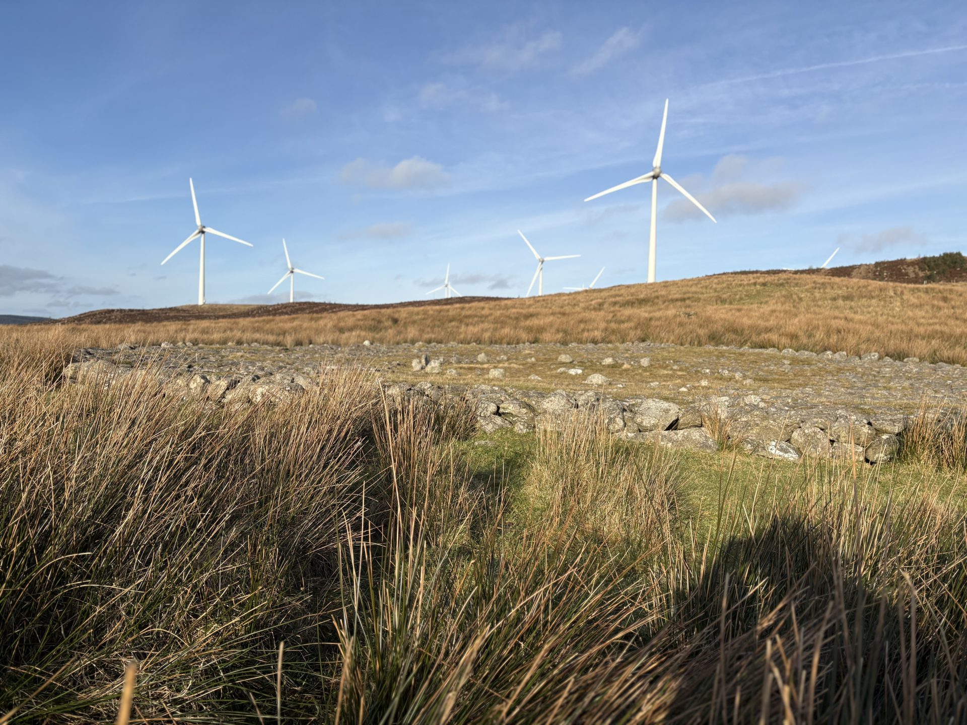
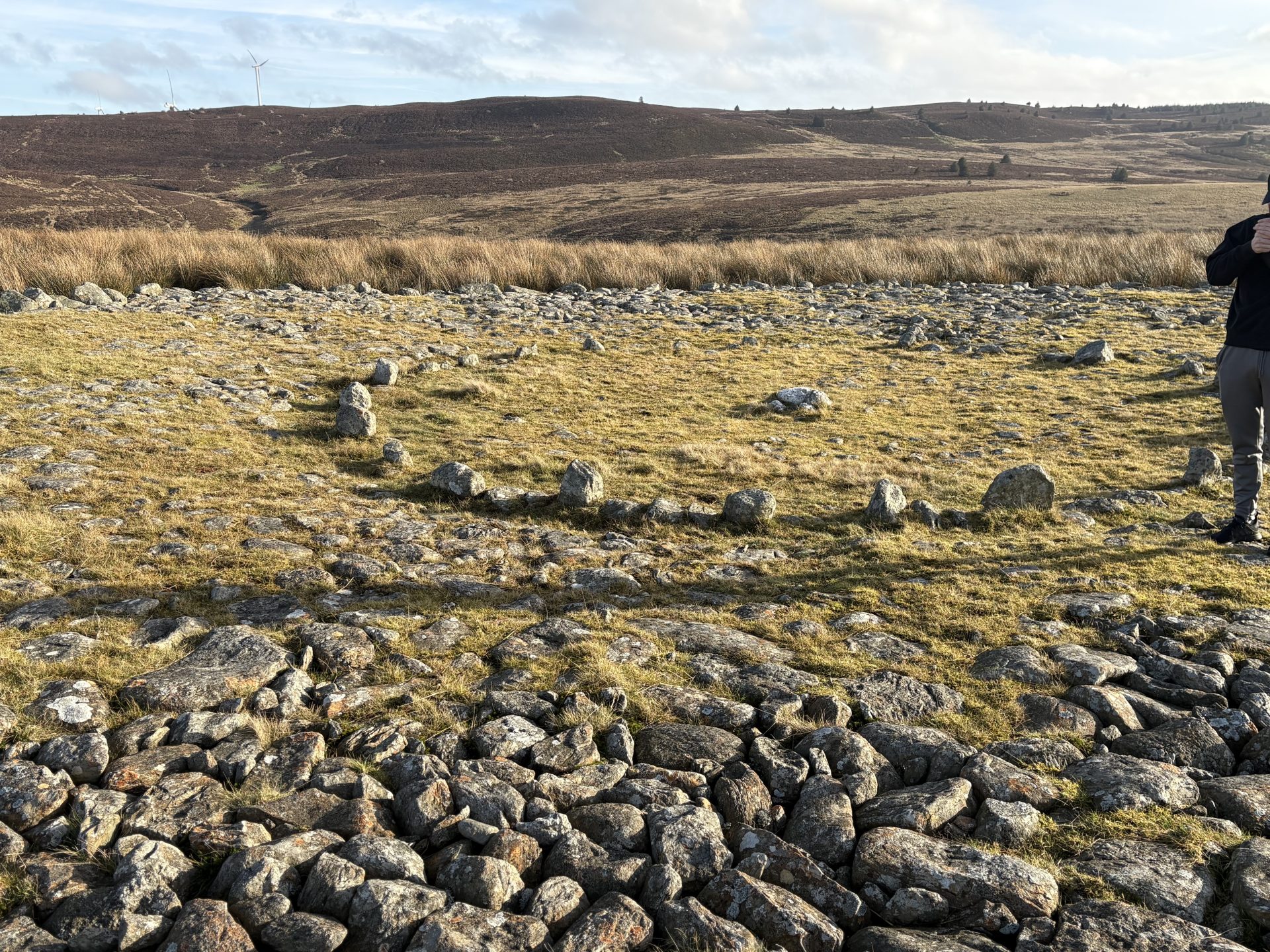
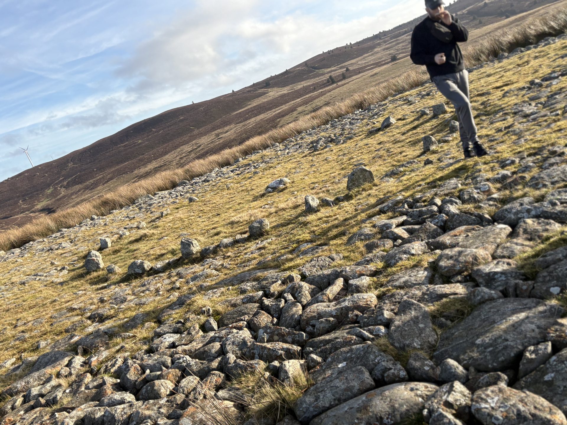
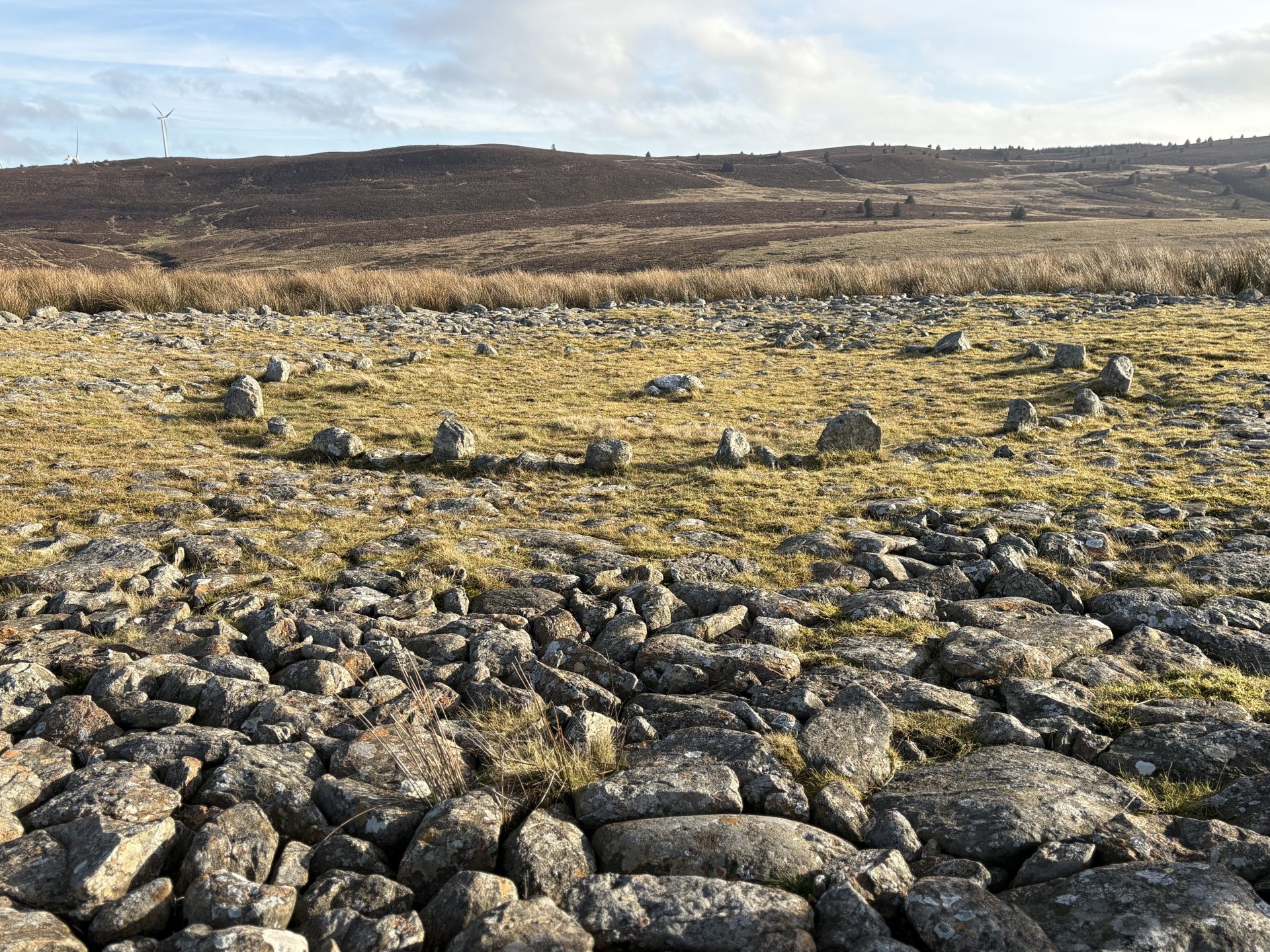
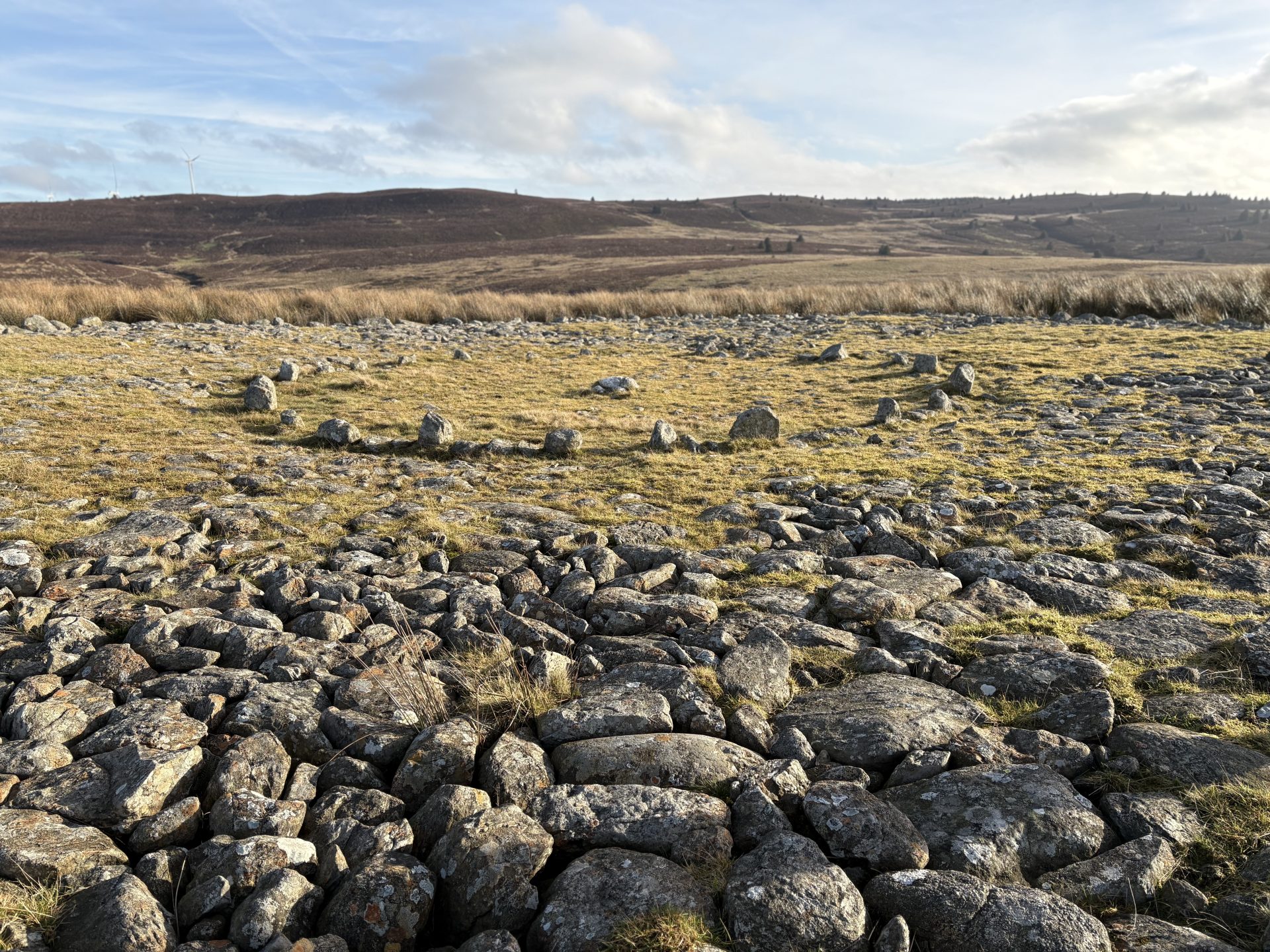
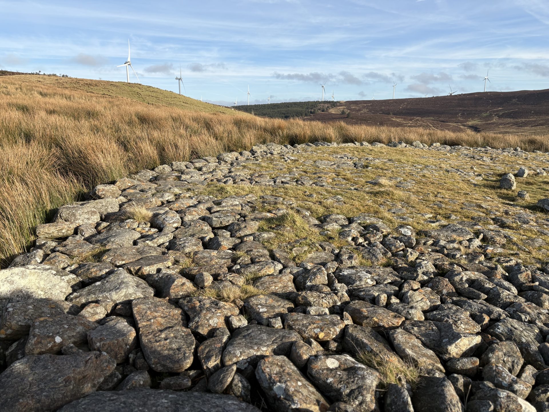
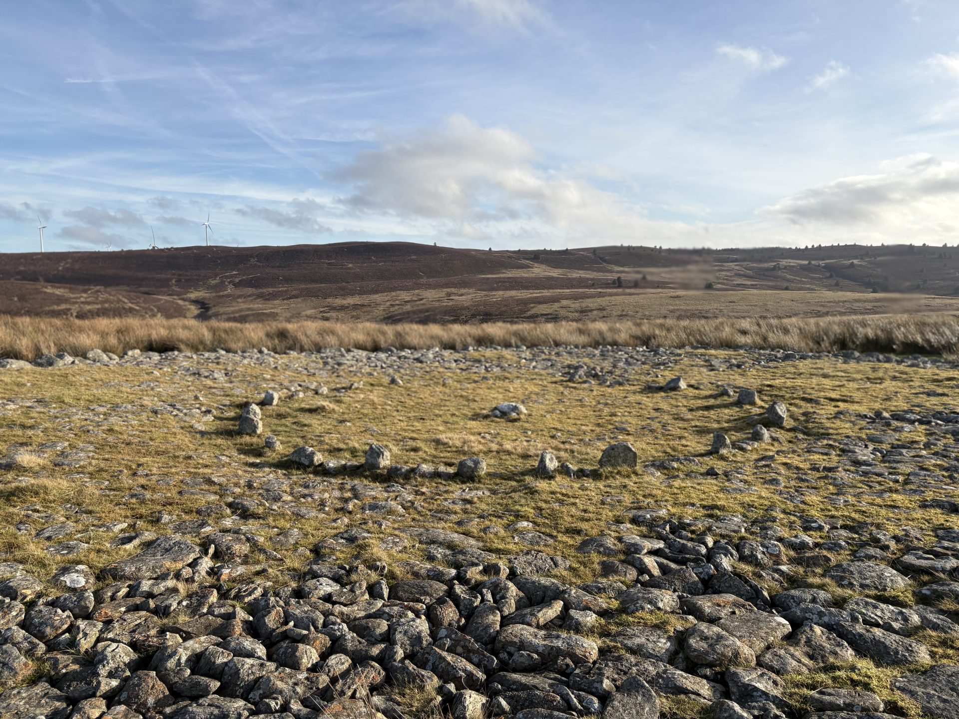
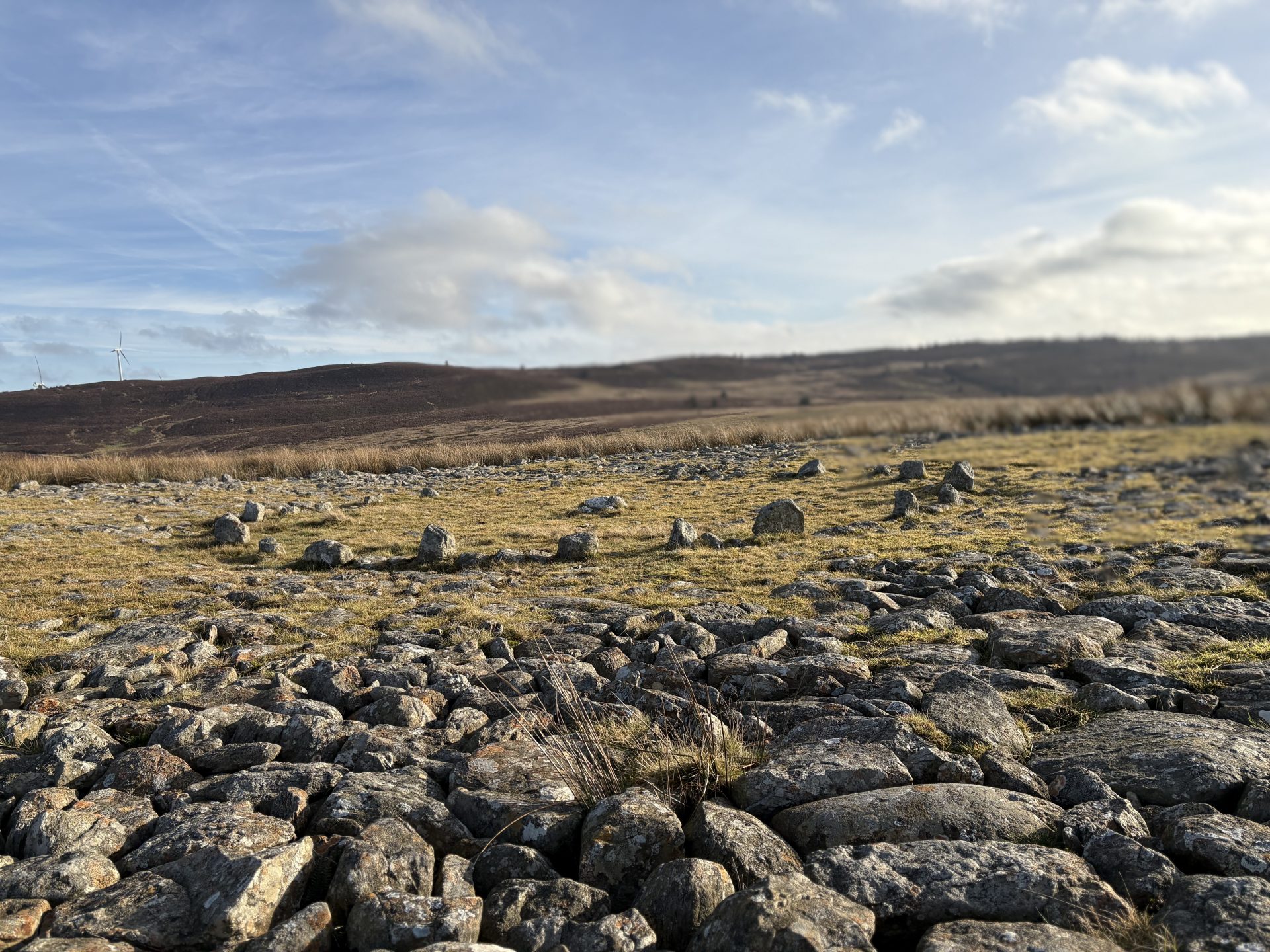
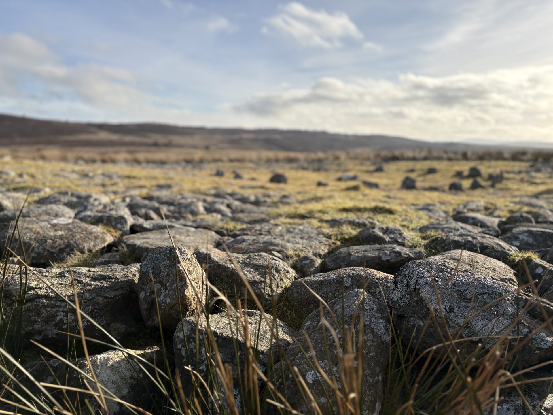
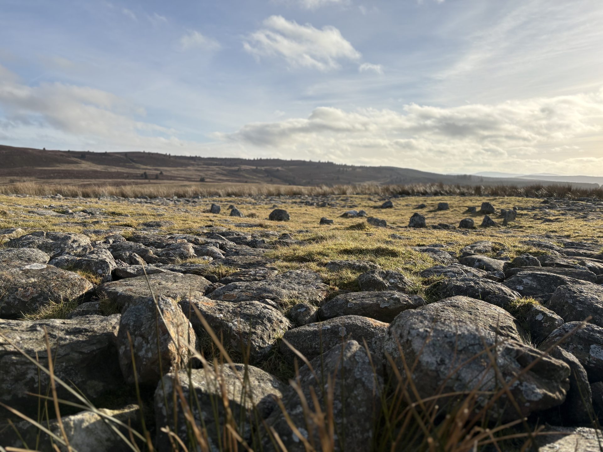
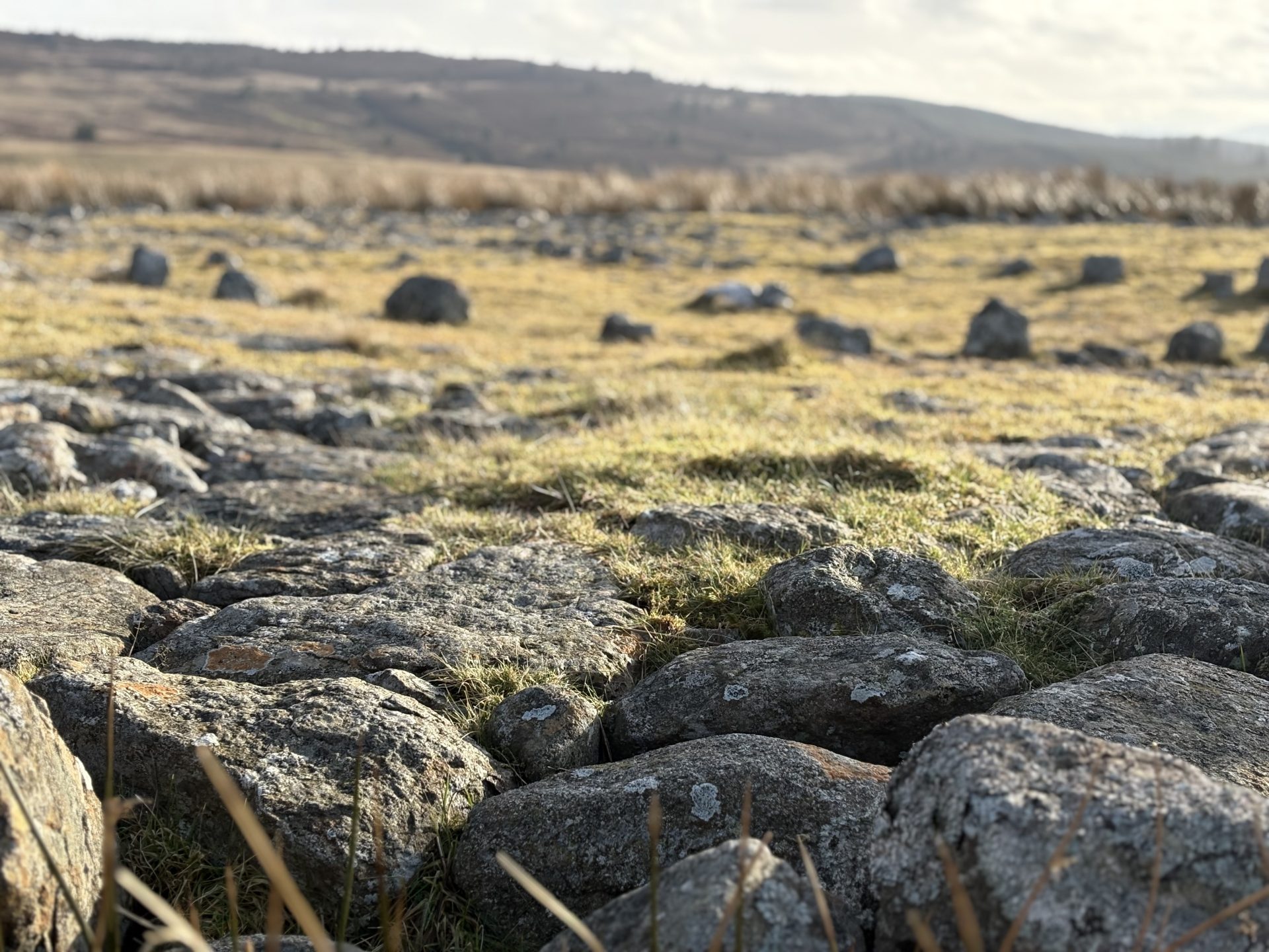
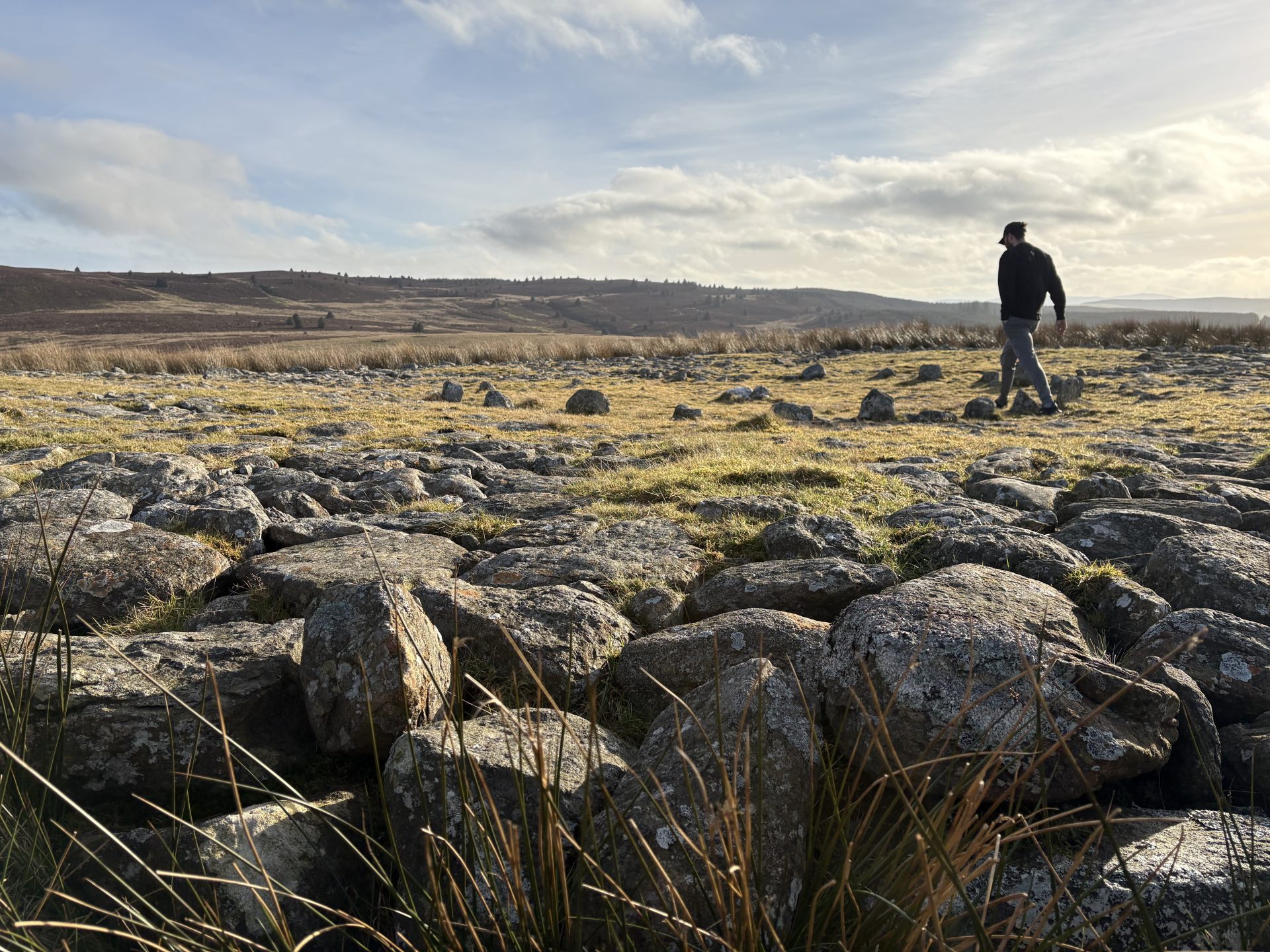
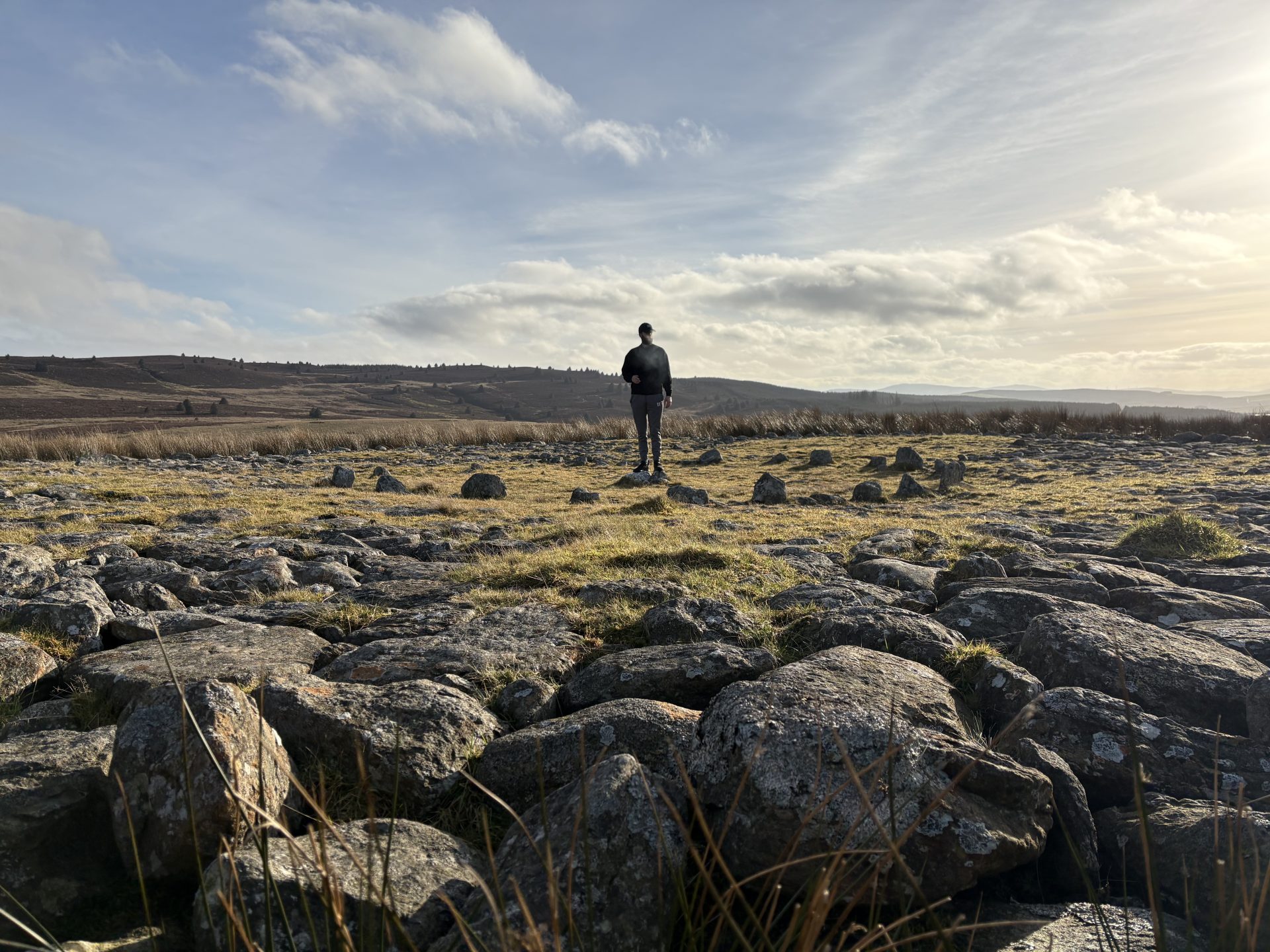
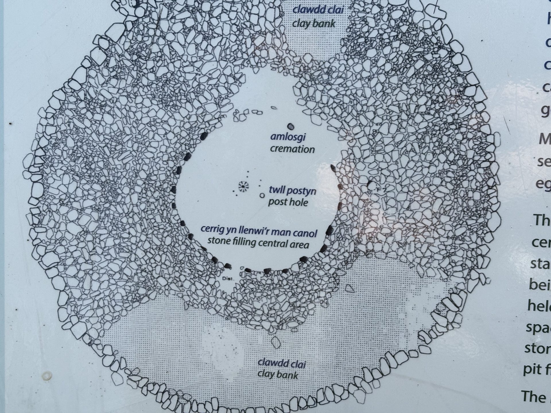
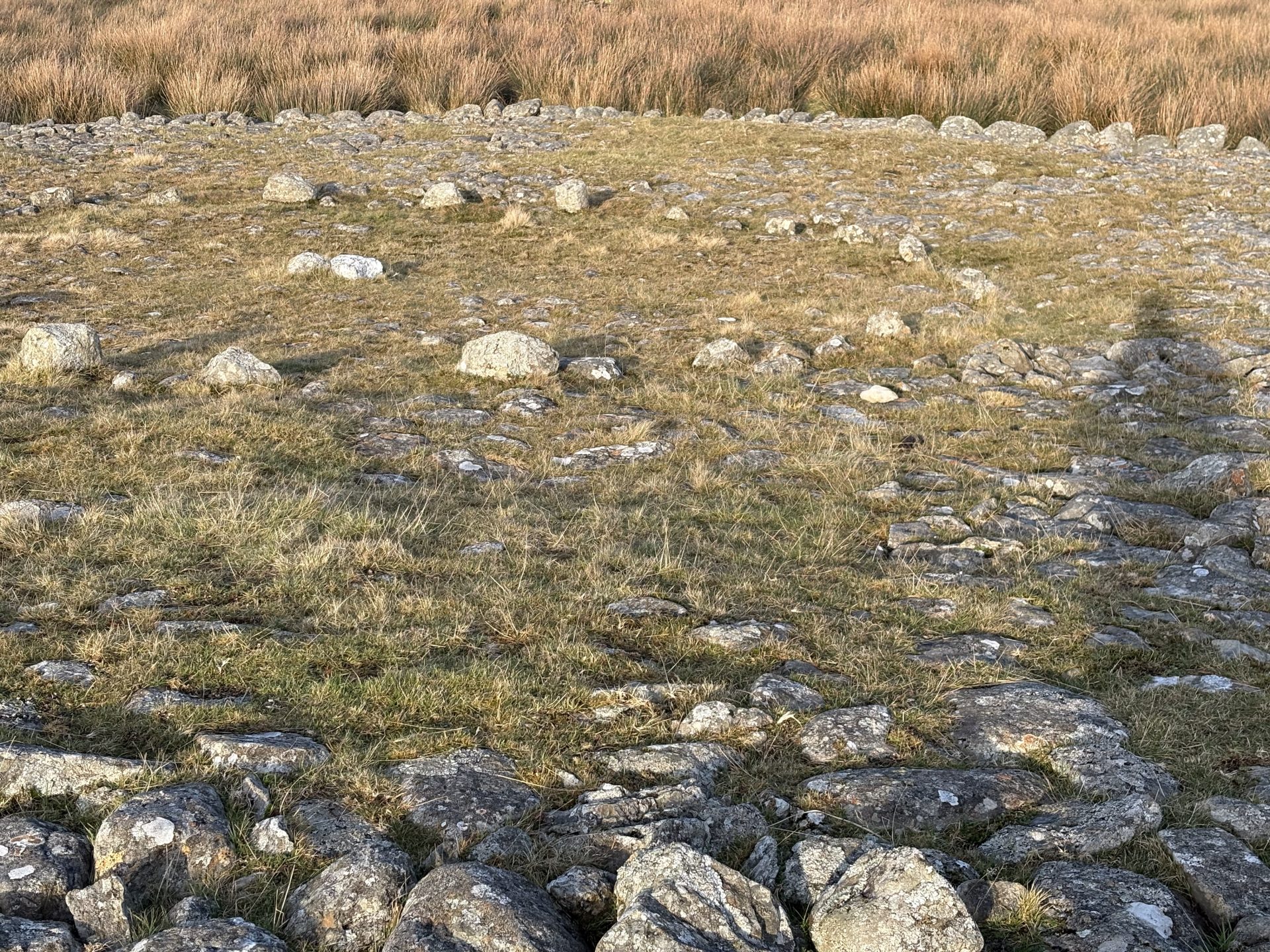
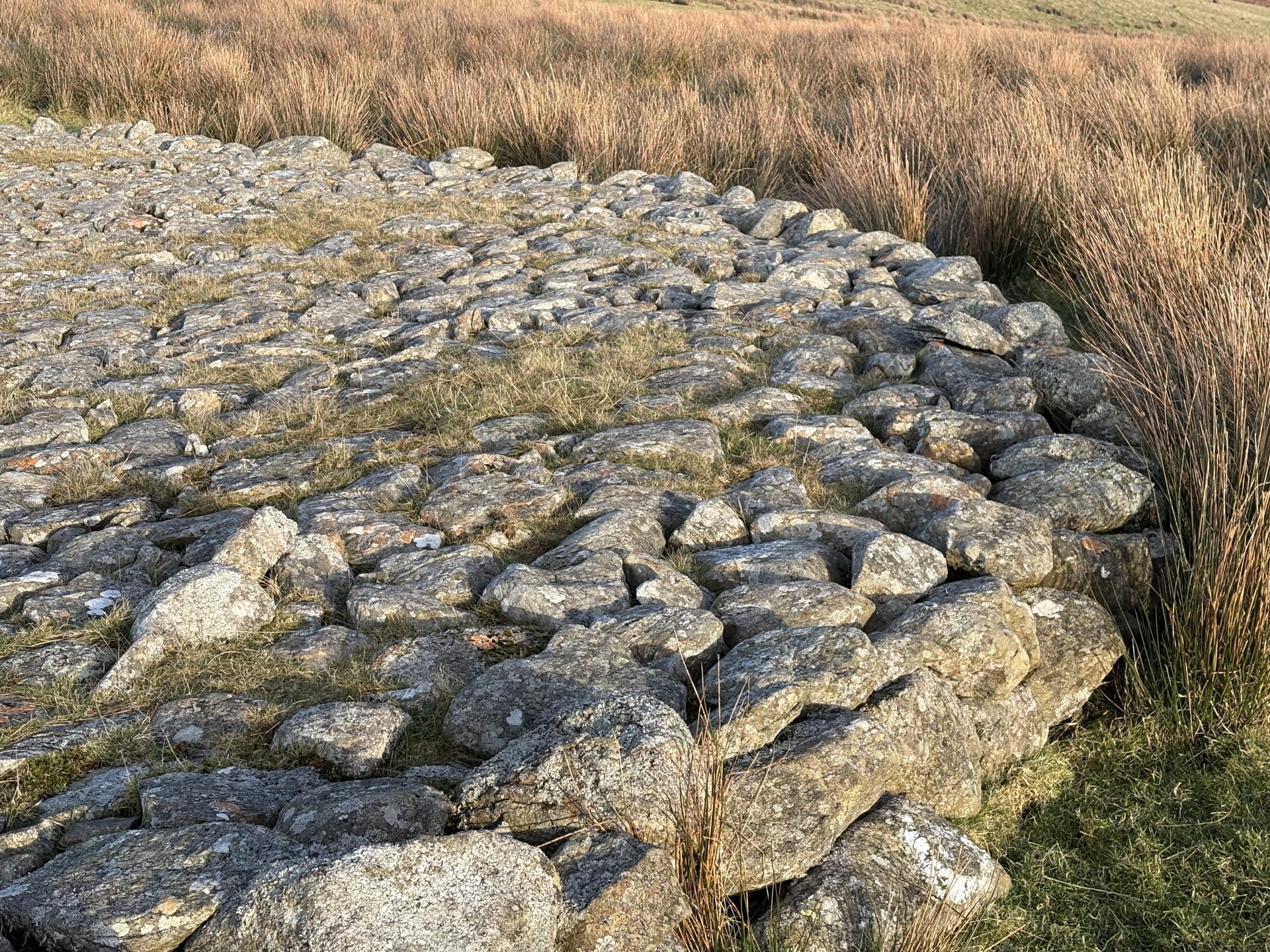
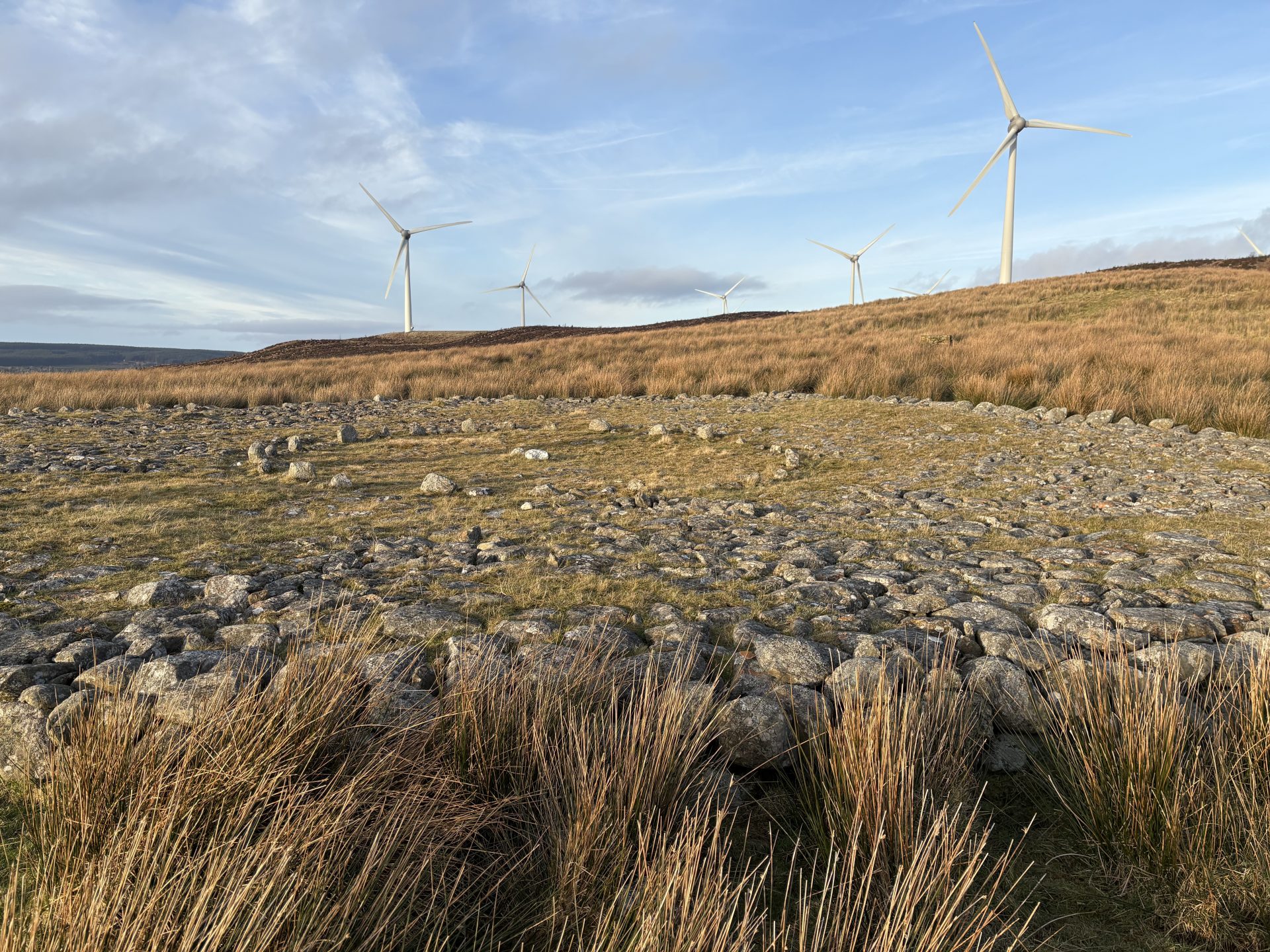
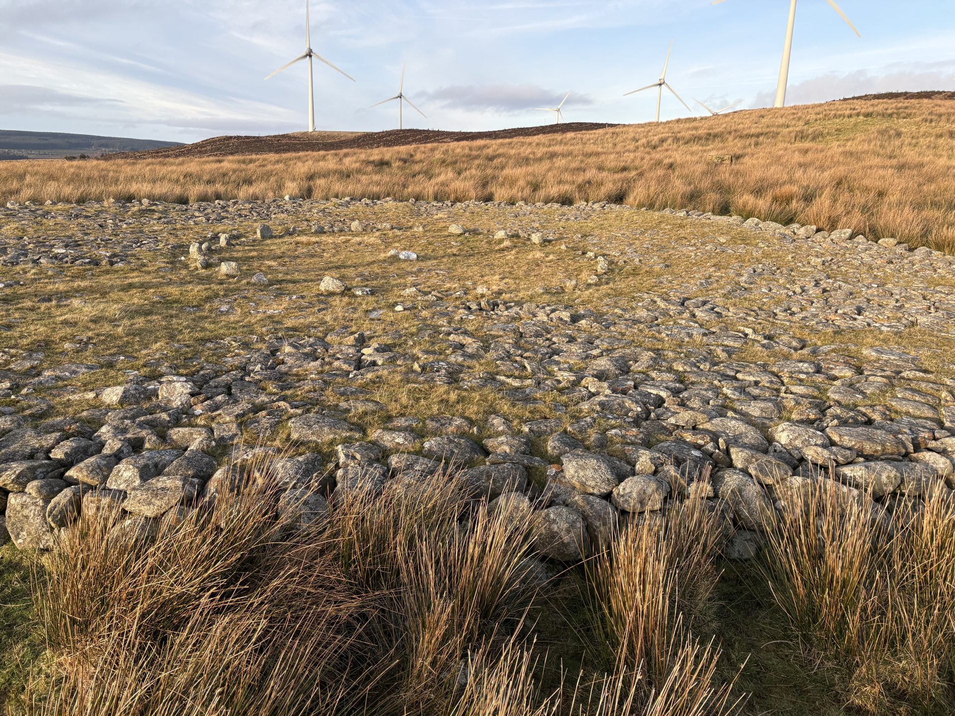
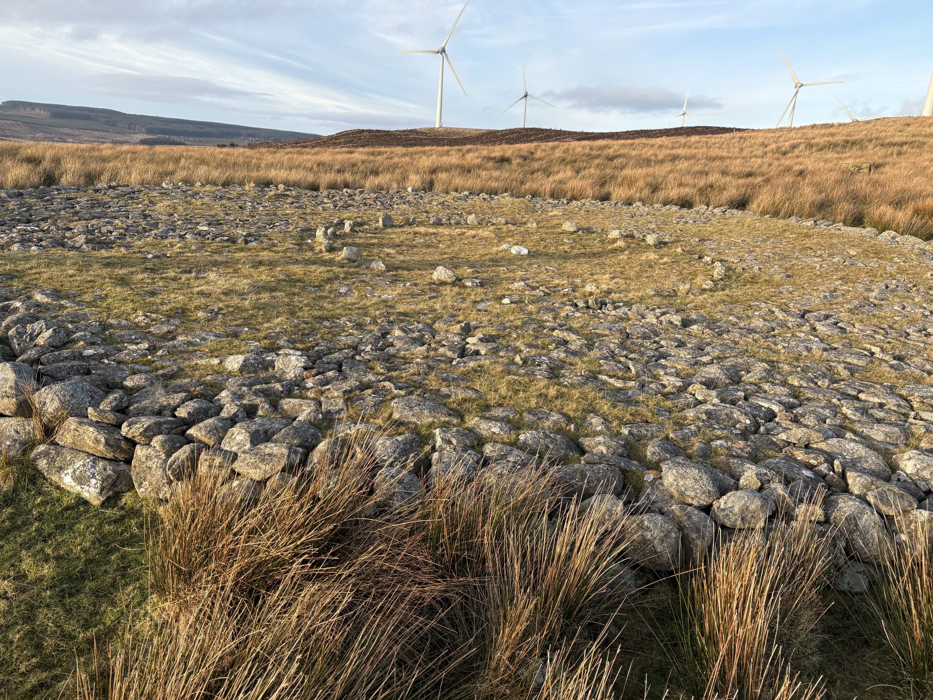
The pièce de résistance of the trail is the Platform Cairn marked number 4 on the official trail. Originally, the structure consisted of a broad ring of stones with an open center, measuring approximately 22–23 meters in diameter and 0.5 meters high. It was primarily composed of two layers of stone. The inner edge of the ring was carefully shaped into a perfect circle of 26 small upright stones. This wide ring covered the burial site of an adult and a child, whose cremated remains, along with a bone-handled dagger, were placed in a pot beneath the southern section of the ring. The open center was used for another cremation burial, with a large wooden post standing in the middle.
Later, the monument’s centre was filled with stone, forming a complete circular platform. This addition covered a small pit containing an urn filled with charcoal. To the northeast of the cairn, a small semi-circular cairn was constructed, neatly bordered by a single line of boulders and filled with smaller stones. Measuring 3.5 meters long, 1.6 meters wide, and 0.3 meters high, this cairn contained a small Collared Urn, which held charcoal and a single piece of heavily burned flint. Once you’ve visited this, head back on yourself towards the farmhouse and get back on the path towards the car park.